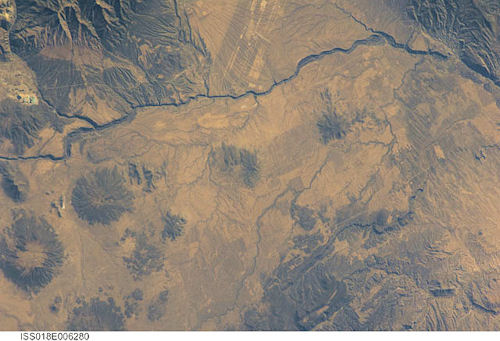
International Space Station 180mm Photograph
Image credit: Image Science and Analysis Laboratory, NASA Johnson Space Center (http://eol.jsc.nasa.gov)
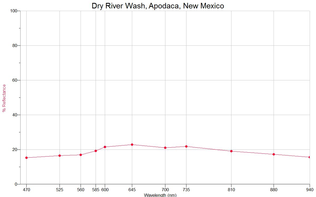
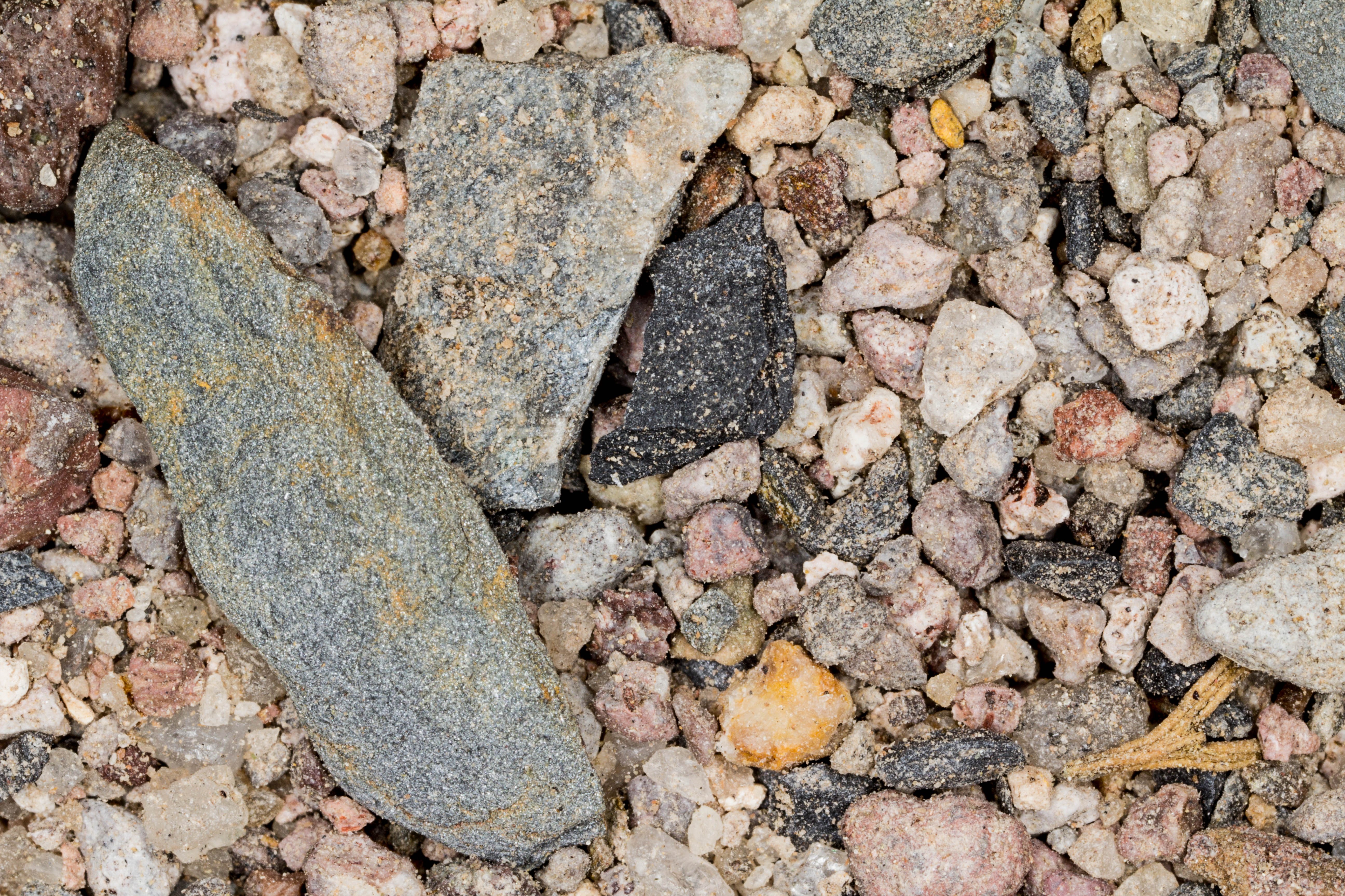
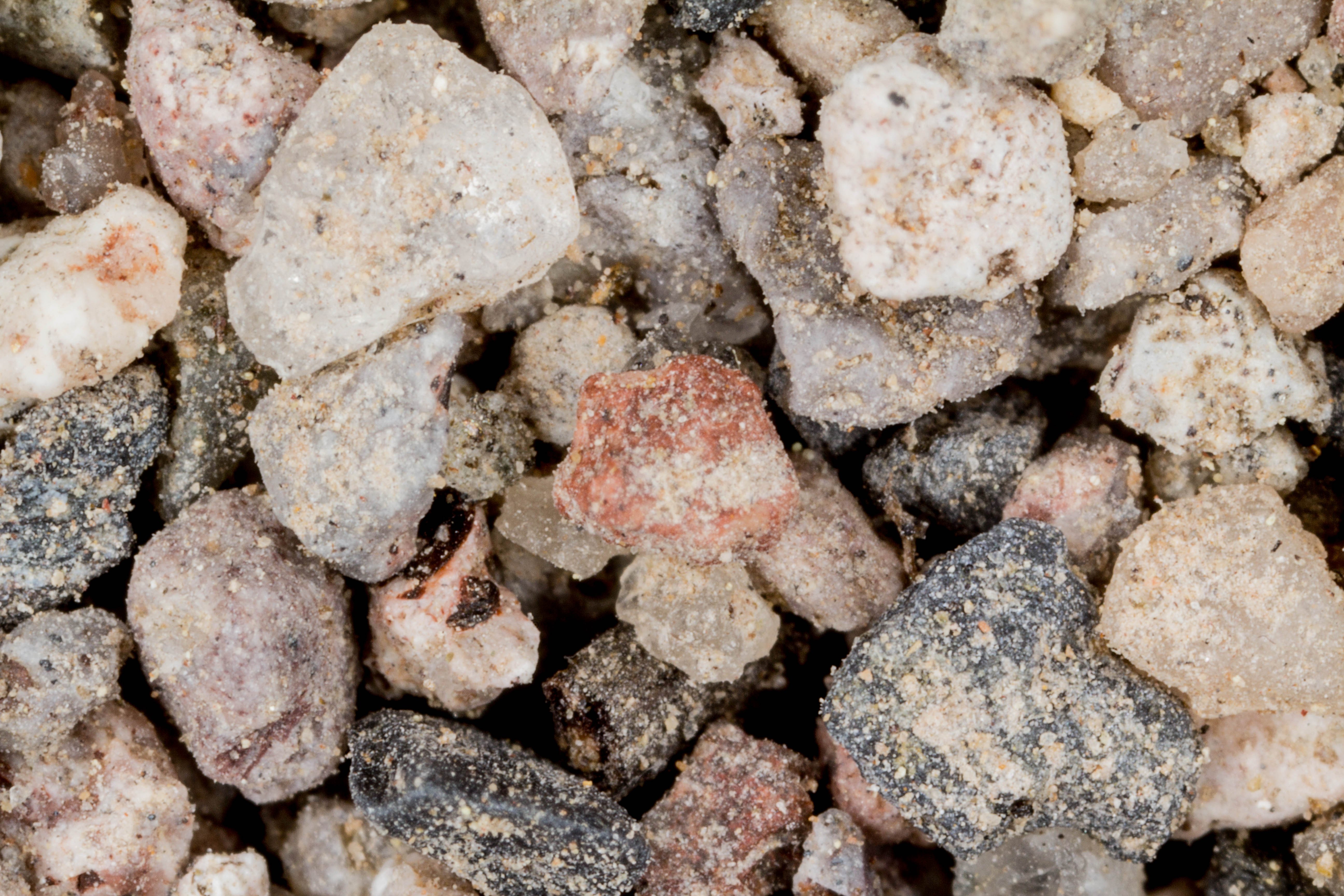
DRY RIVER WASH, APODACA 36.20N, 105.86W
The link is to a trail guide for the area.
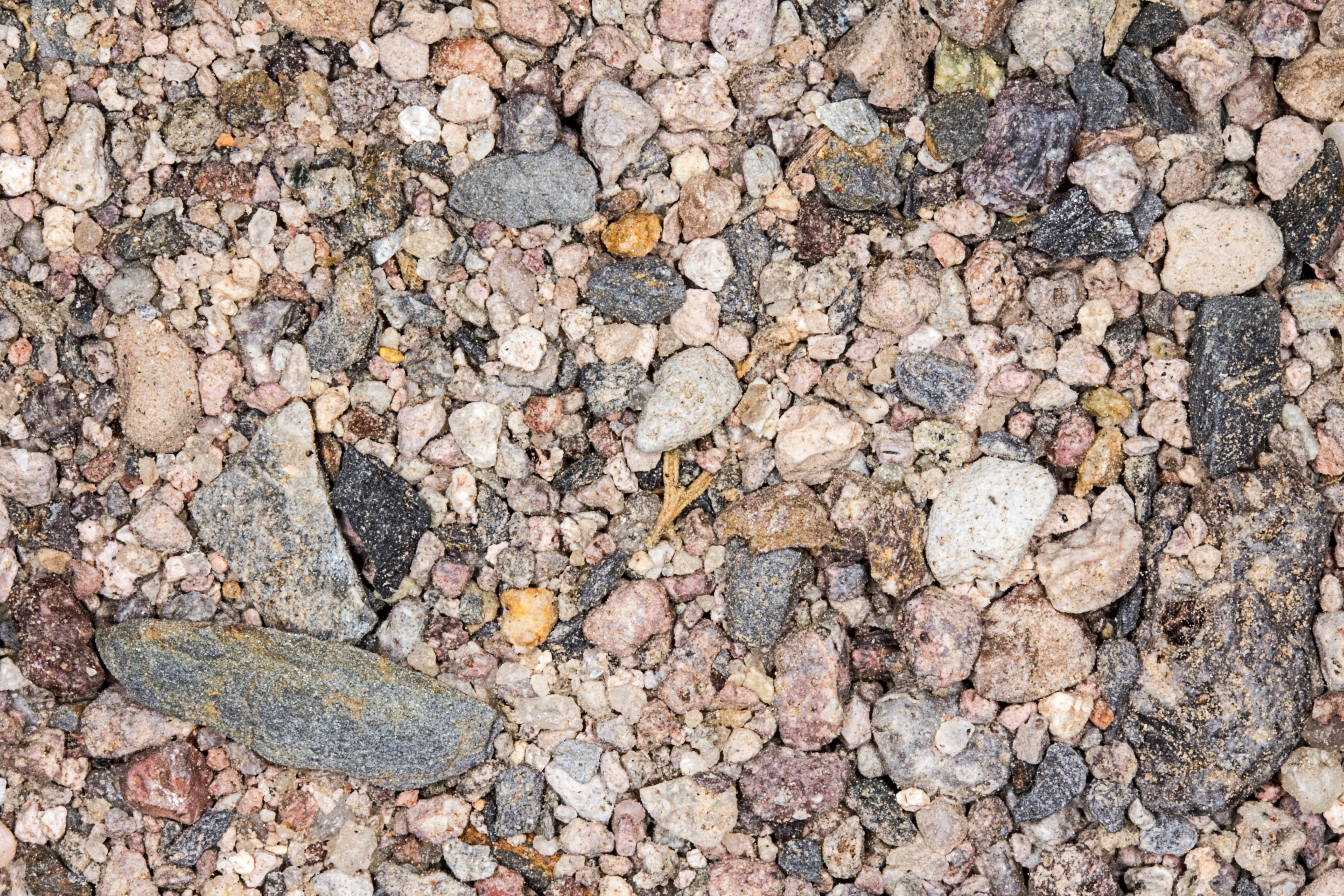
ZERO MAGNIFICATION IMAGE
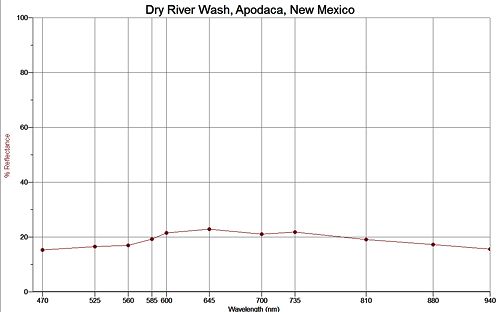
REFLECTANCE SPECTRUM
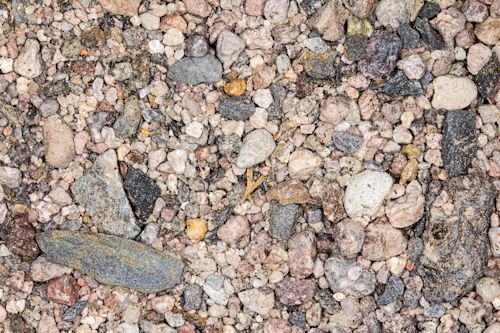
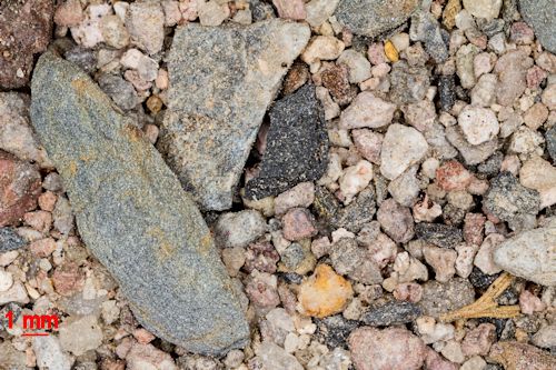
1X MAGNIFICATION (RED LINE = 1MM)
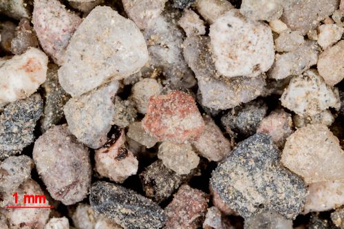
3X MAGNIFICATION (RED LINE = 1MM)
Return to New Mexico Sand to view high resolution versions of all sand samples from New Mexico. Click the thumbnails above to view those images in high resolution.
Return to USA Map
Return to Home