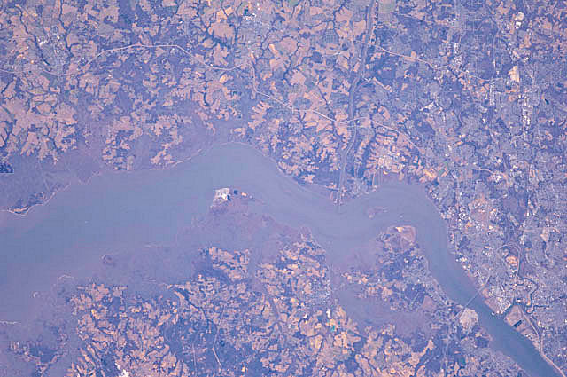
International Space Station 180mm Photograph
Image credit: Image Science and Analysis Laboratory, NASA Johnson Space Center (http://eol.jsc.nasa.gov)
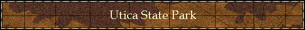
UTICA STATE PARK 39.53N, 77.39W
The link is to the Wikipedia page on a bridge in the park.
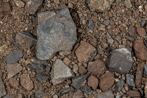
ZERO MAGNIFICATION IMAGE
REFLECTANCE SPECTRUM
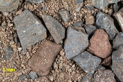
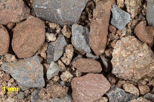
1X MAGNIFICATION (YELLOW LINE = 1MM)
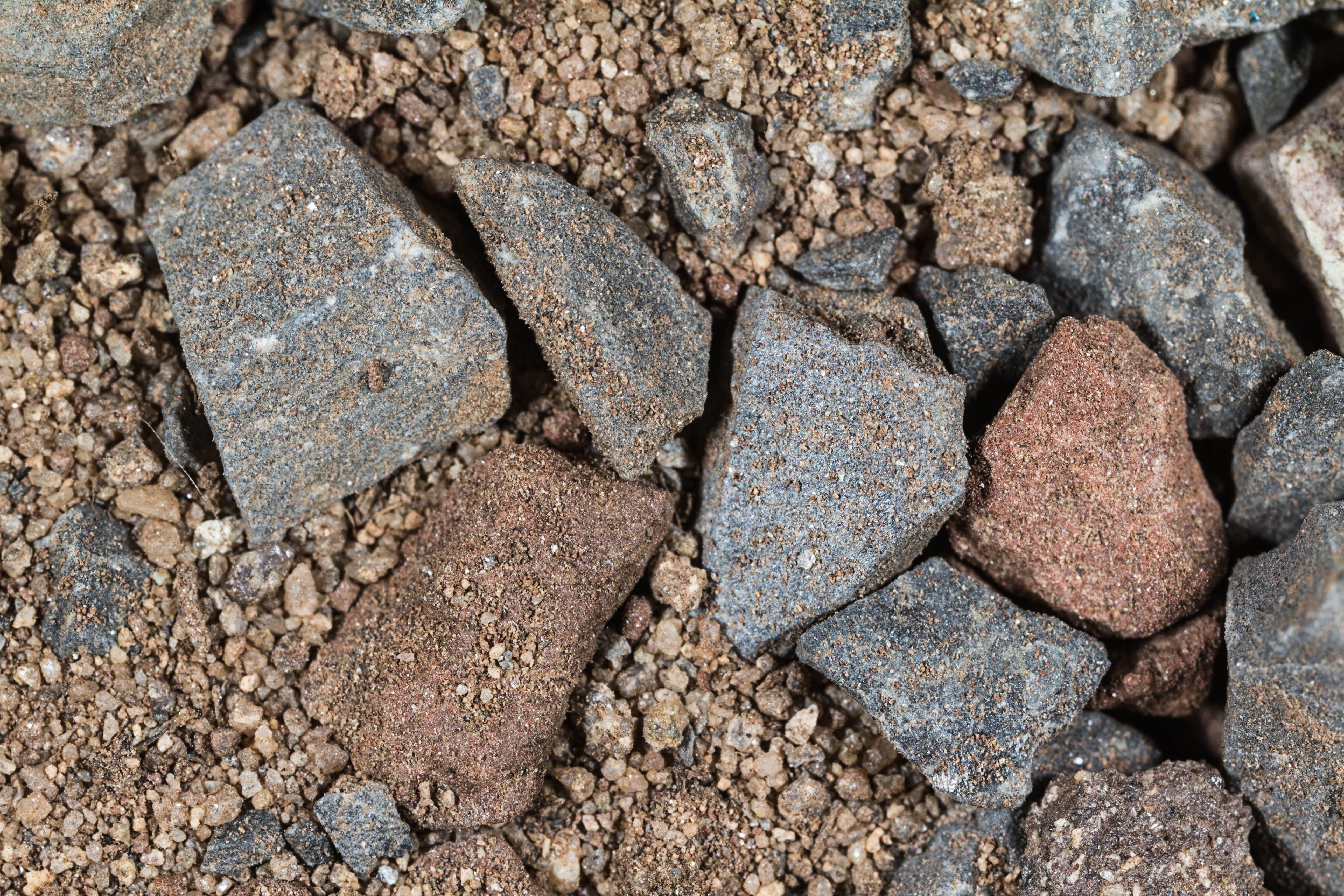
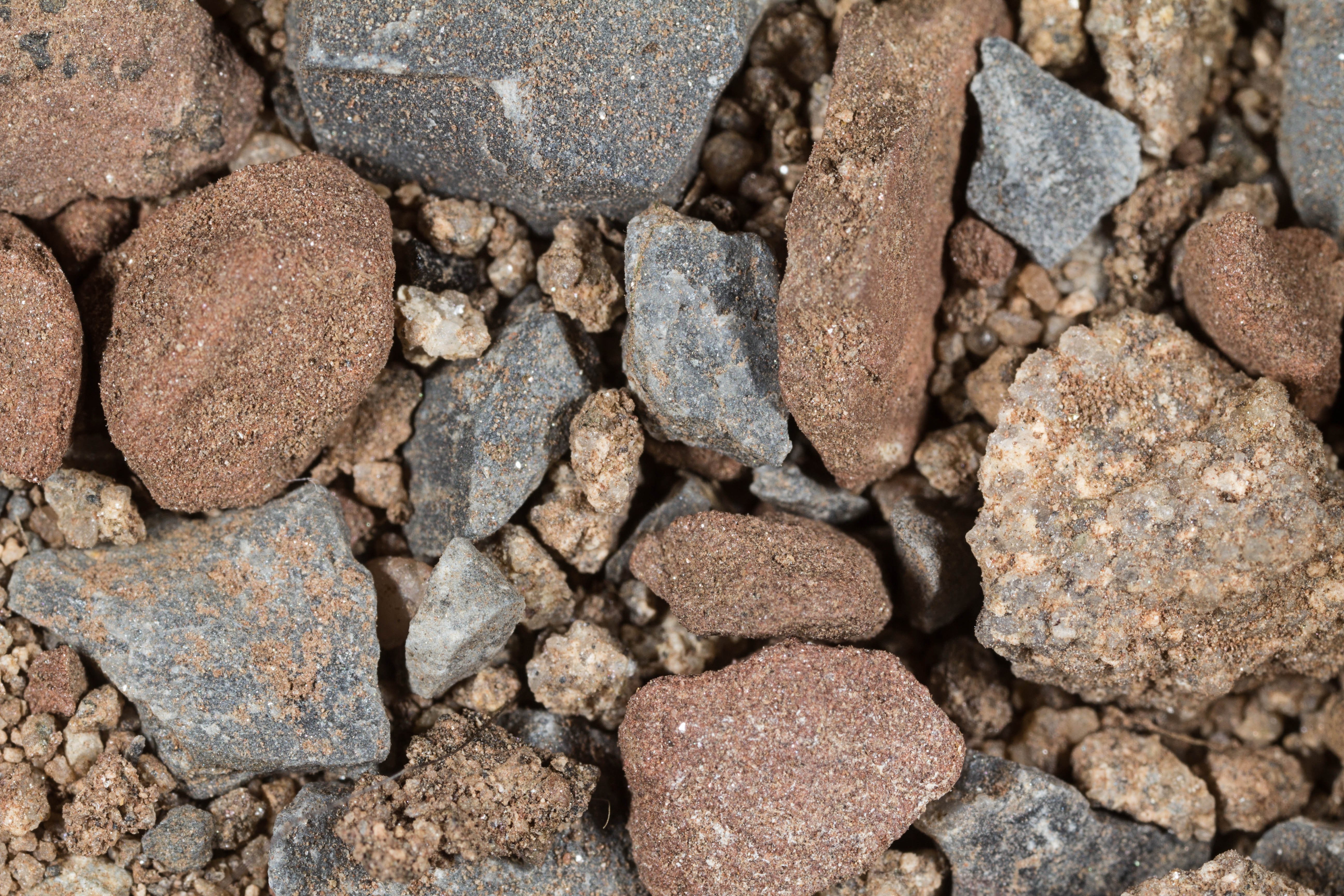
3X MAGNIFICATION (YELLOW LINE = 1MM)
Return to Maryland Sand
Return to USA Map
Return to Home