|
|
|
|
|
|
|
|
|
|
|
|
|
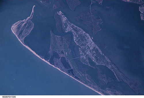
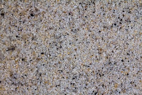
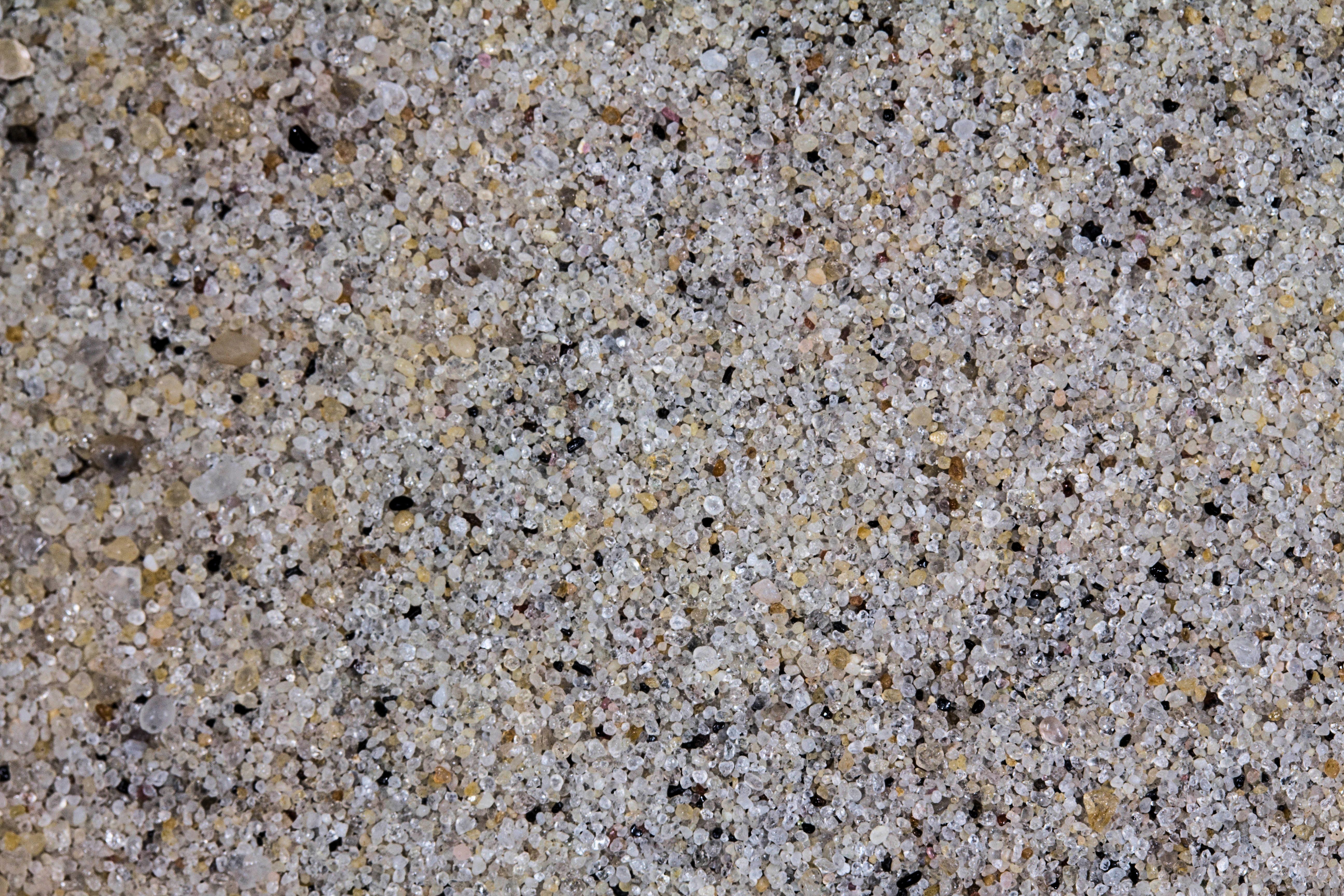
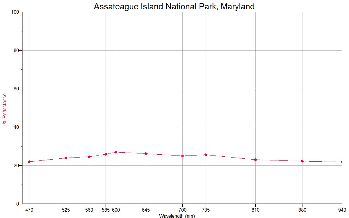
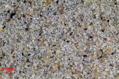
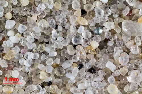
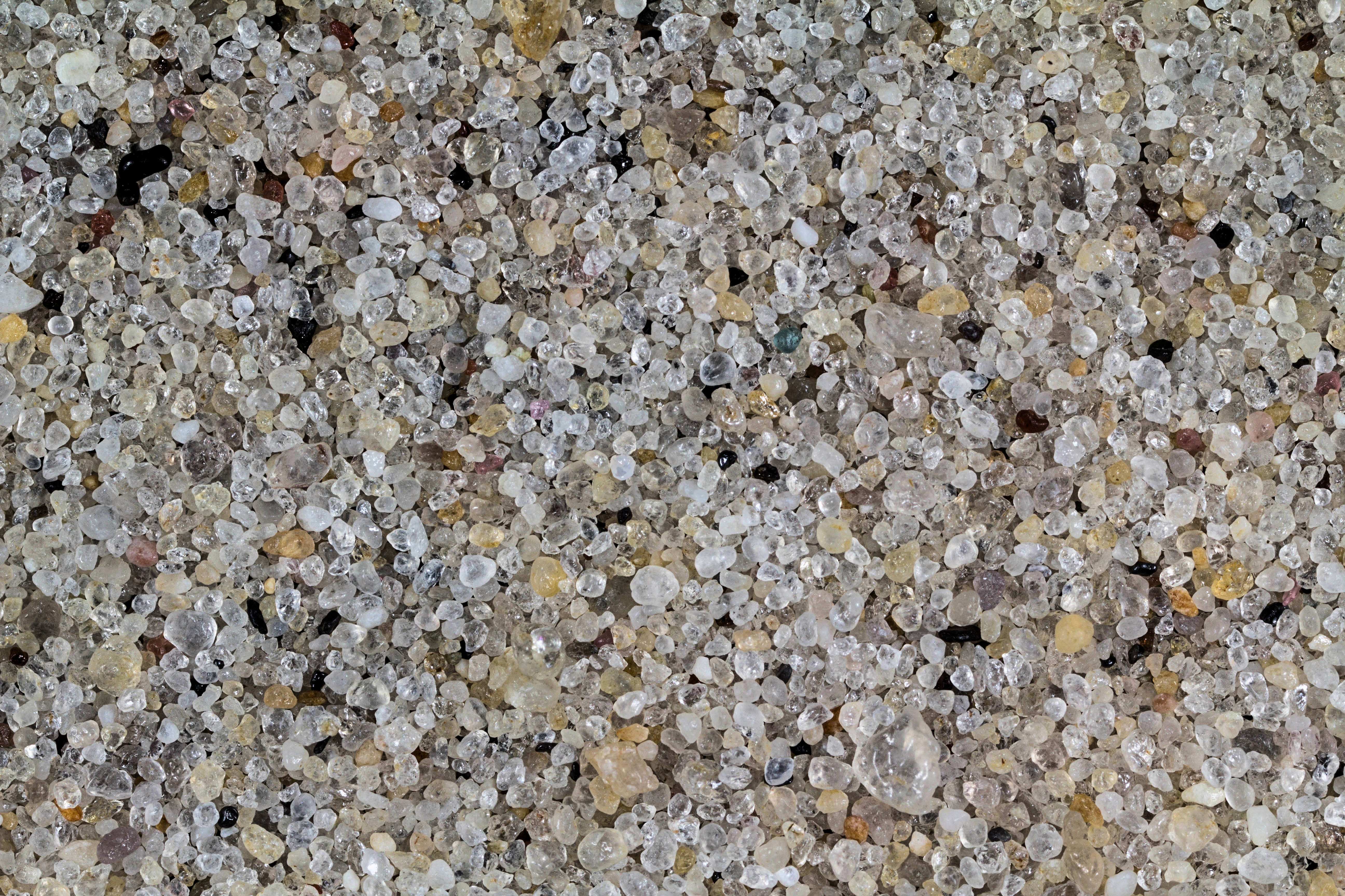
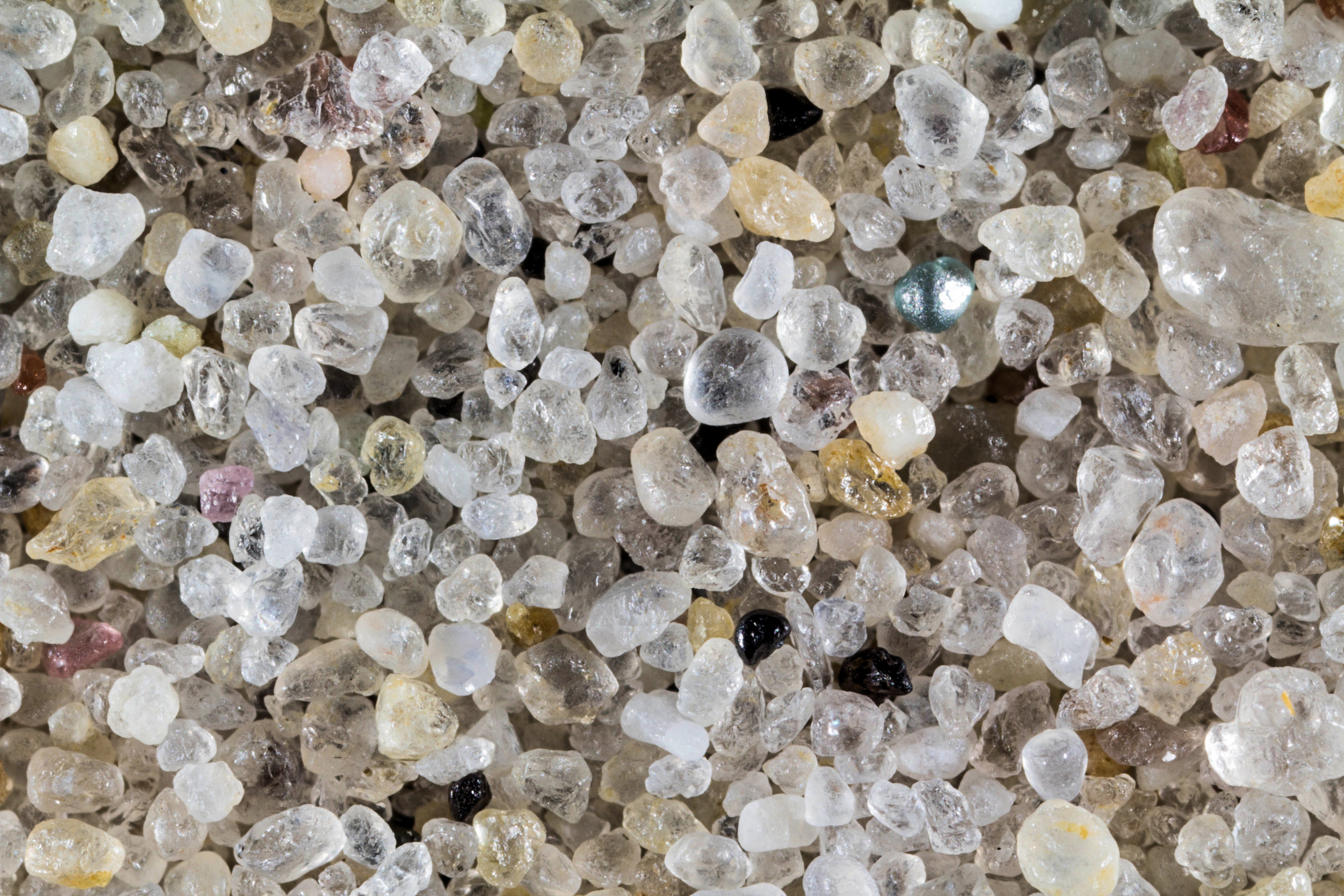
Return to Maryland Sand to view high resolution versions of all Maryland sand samples. Click the thumbnails above to view high resolution versions of this sample. The sample was collected by Toni E. from the Sandy Spring Friends Middle School, in Sandy Spring, Maryland. Click here to view all Sandy Spring samples.
Return to USA Map
Return to Home