|
LOCATION |
THUMBNAIL IMAGE |
THUMBNAIL
SPECTRA |
|
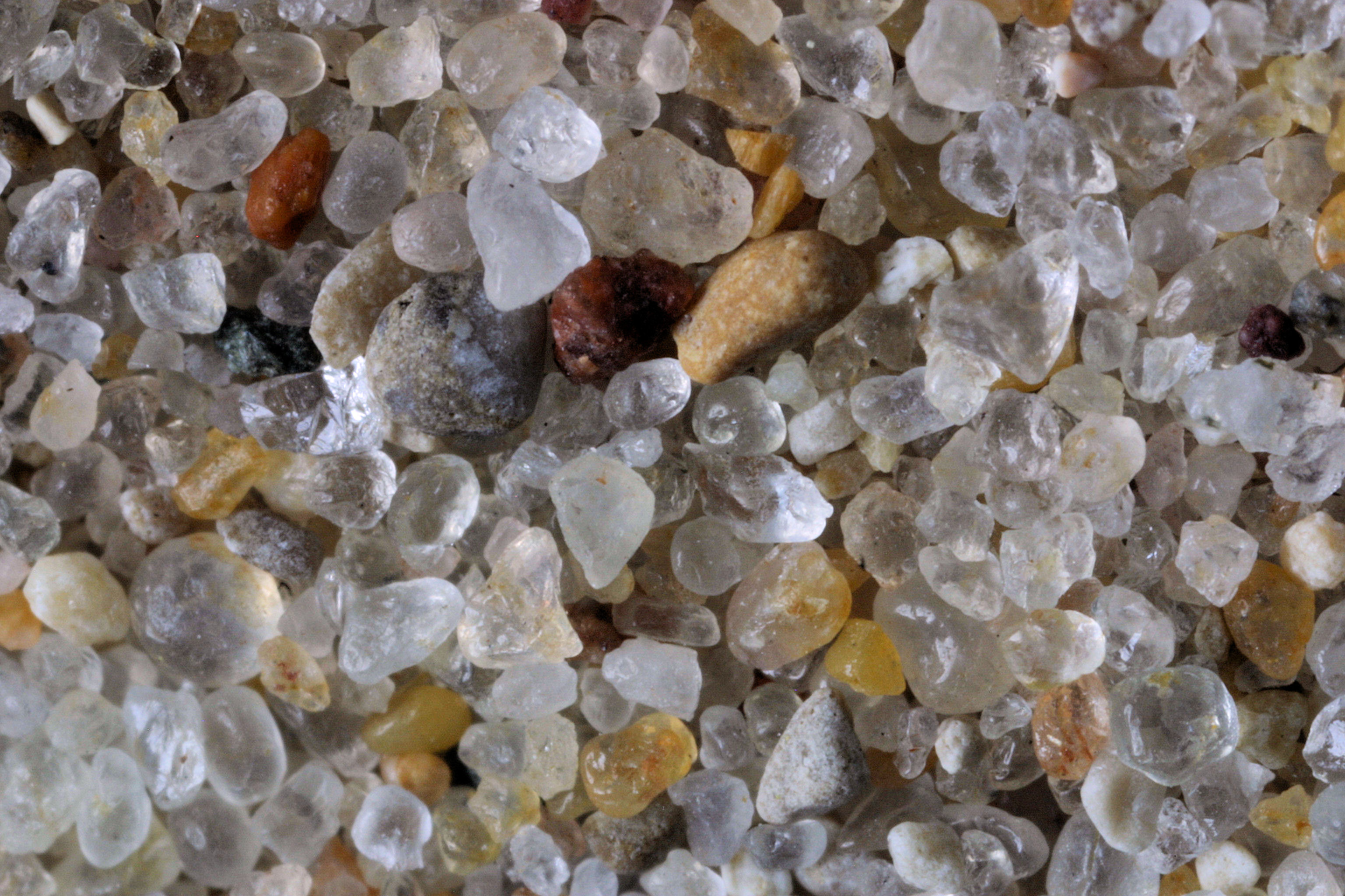
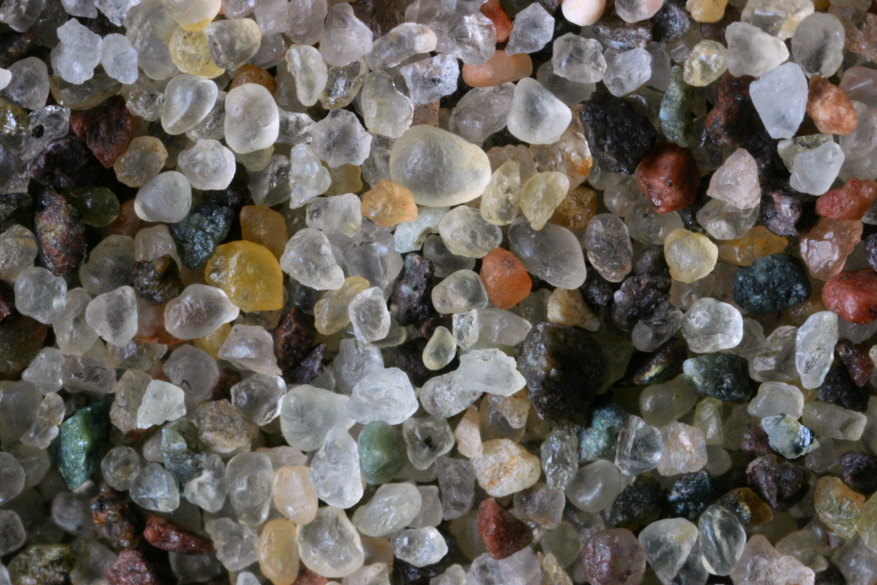
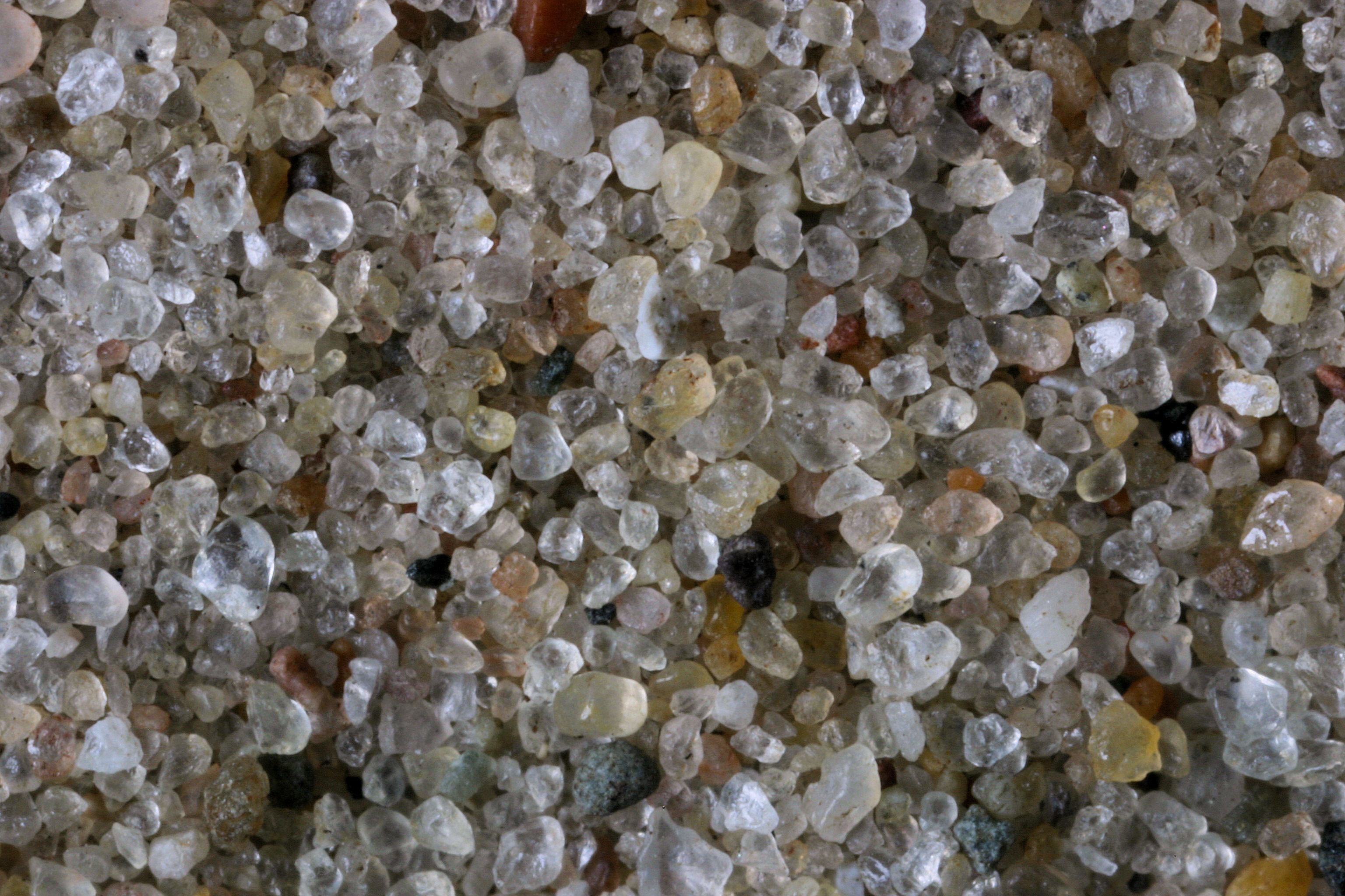
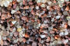
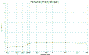
Crystal Cove,
Isle Royale Nat. Pk. 48.00N, 88.83W |
 |
|
|
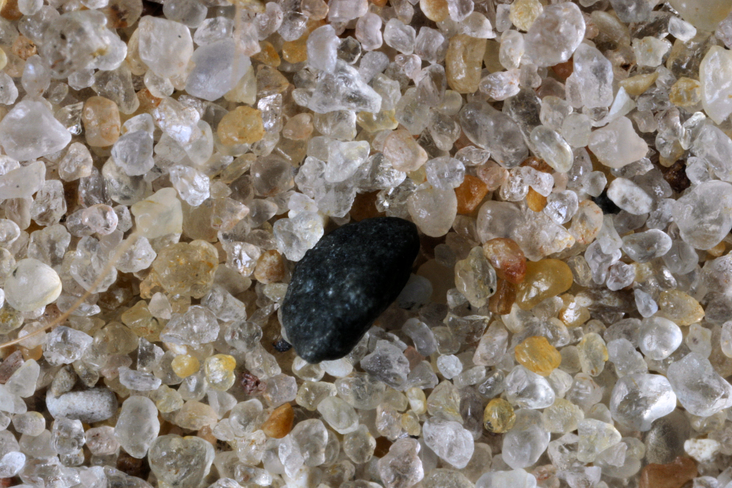
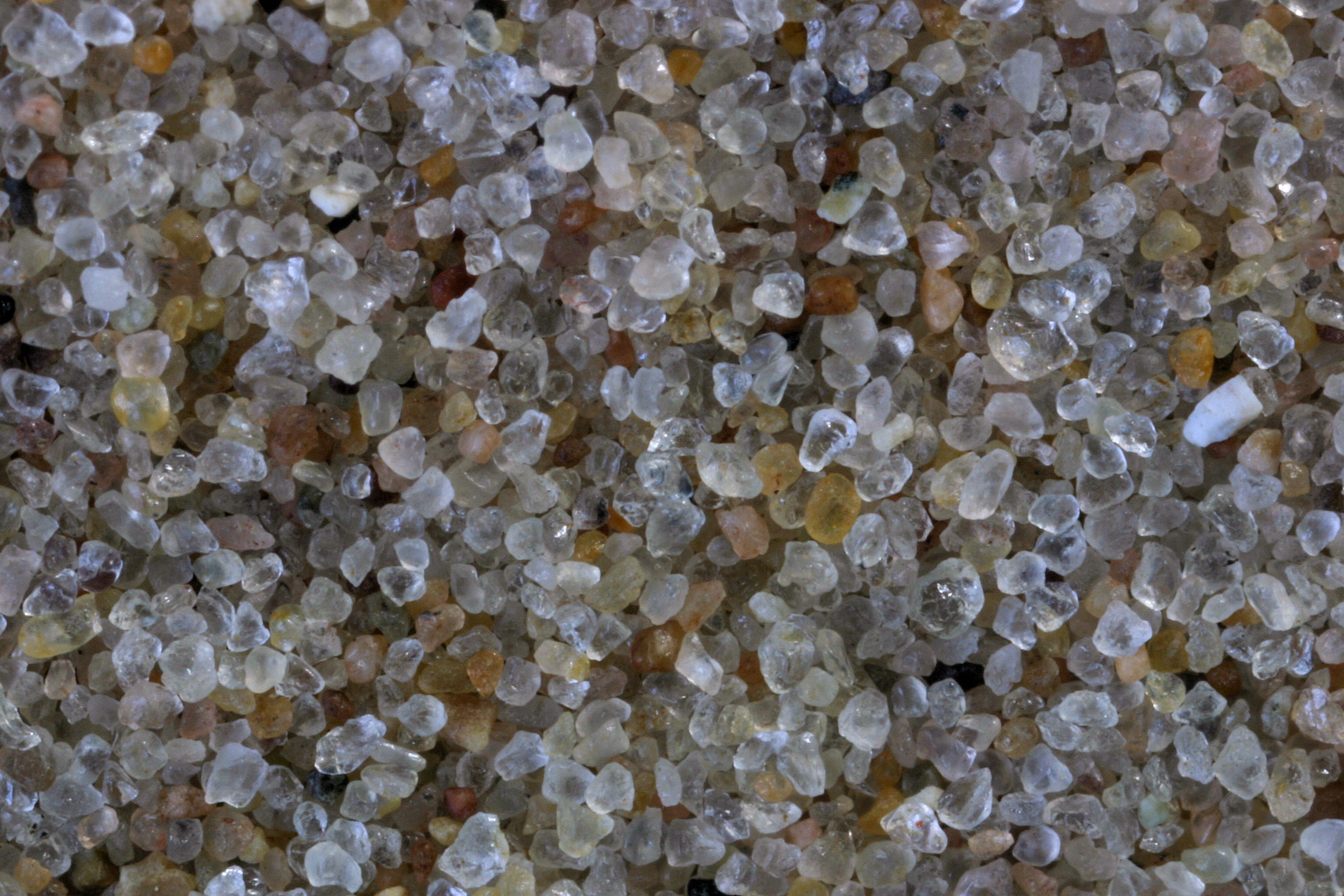
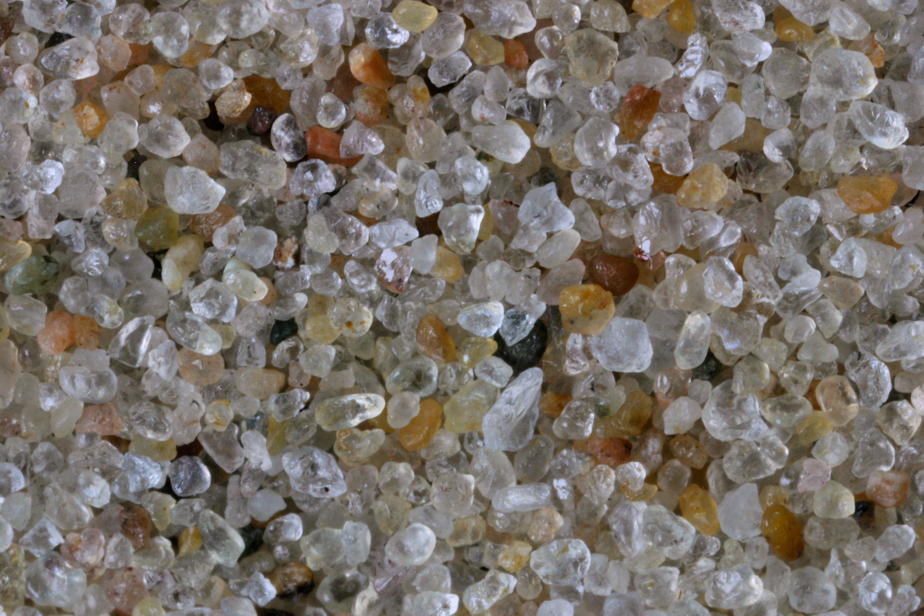
Fort Wilkins
State Pk. Copper Harbor 47.47N, 87.86W |
 |
|
|
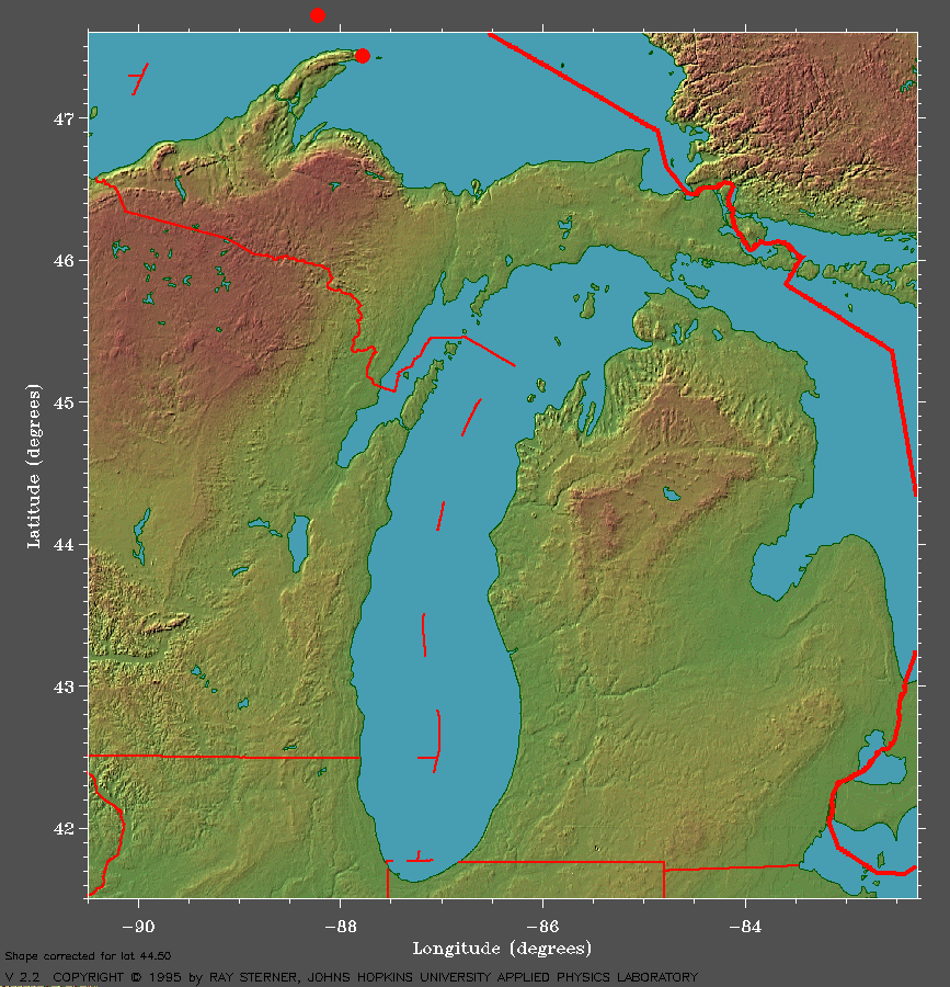
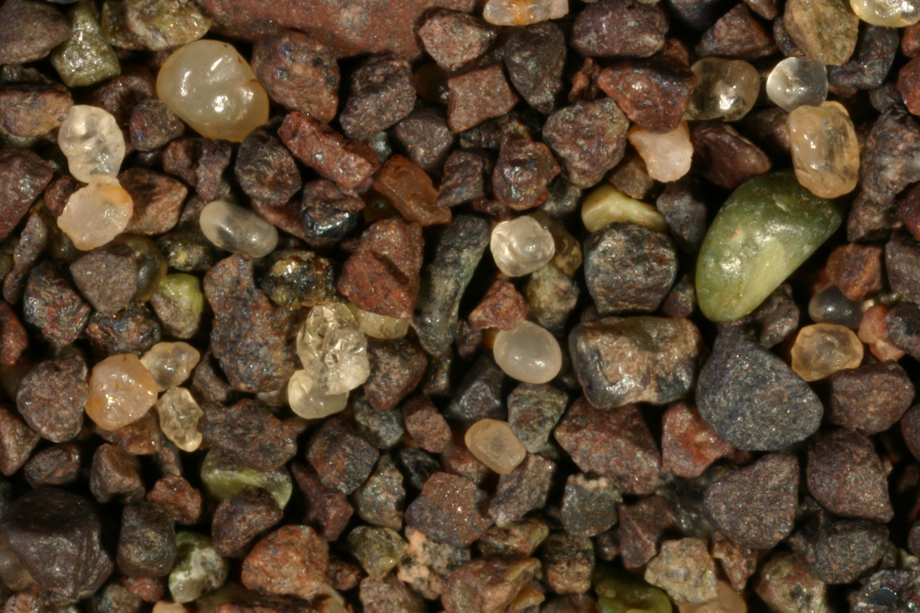
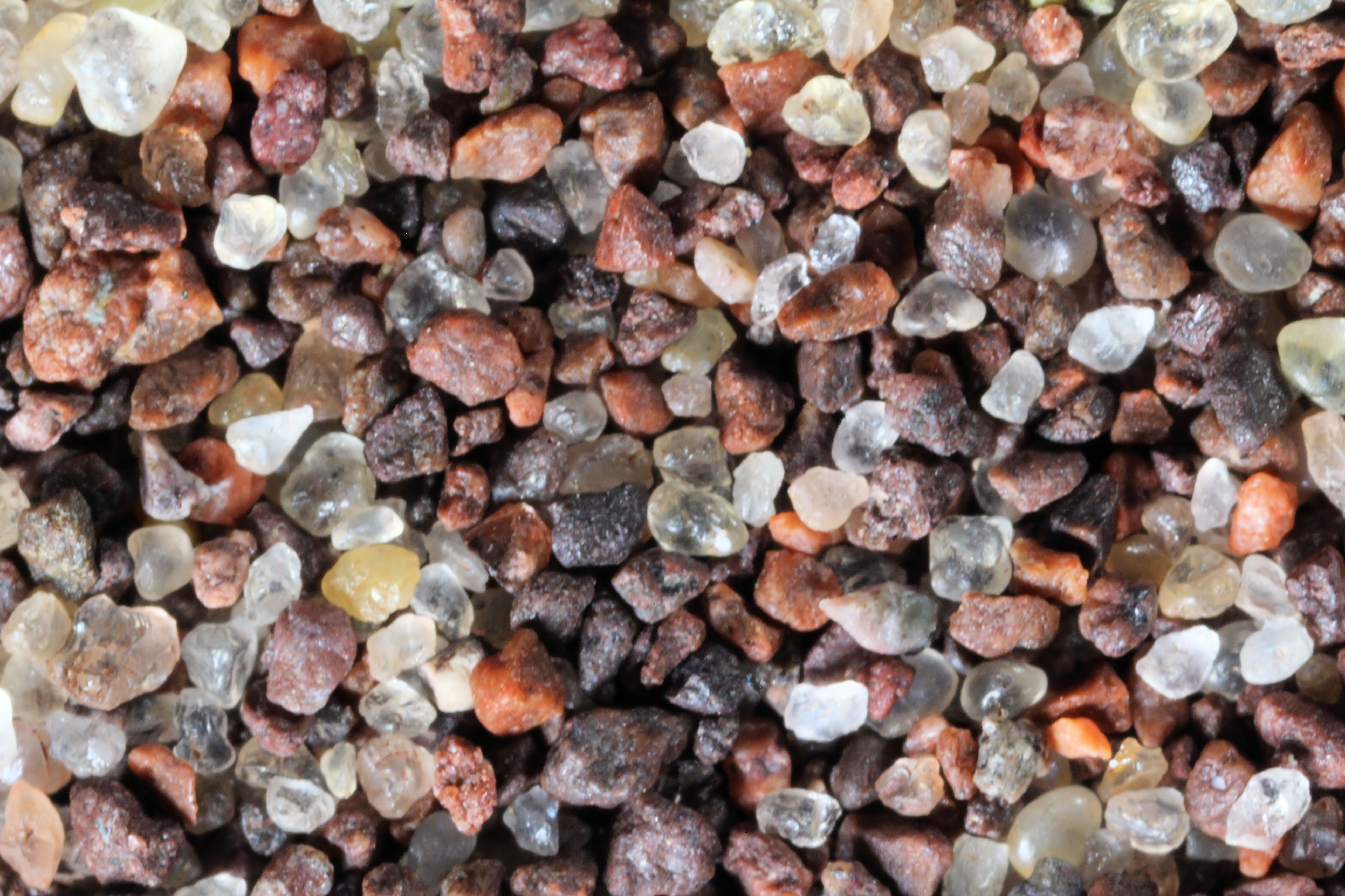
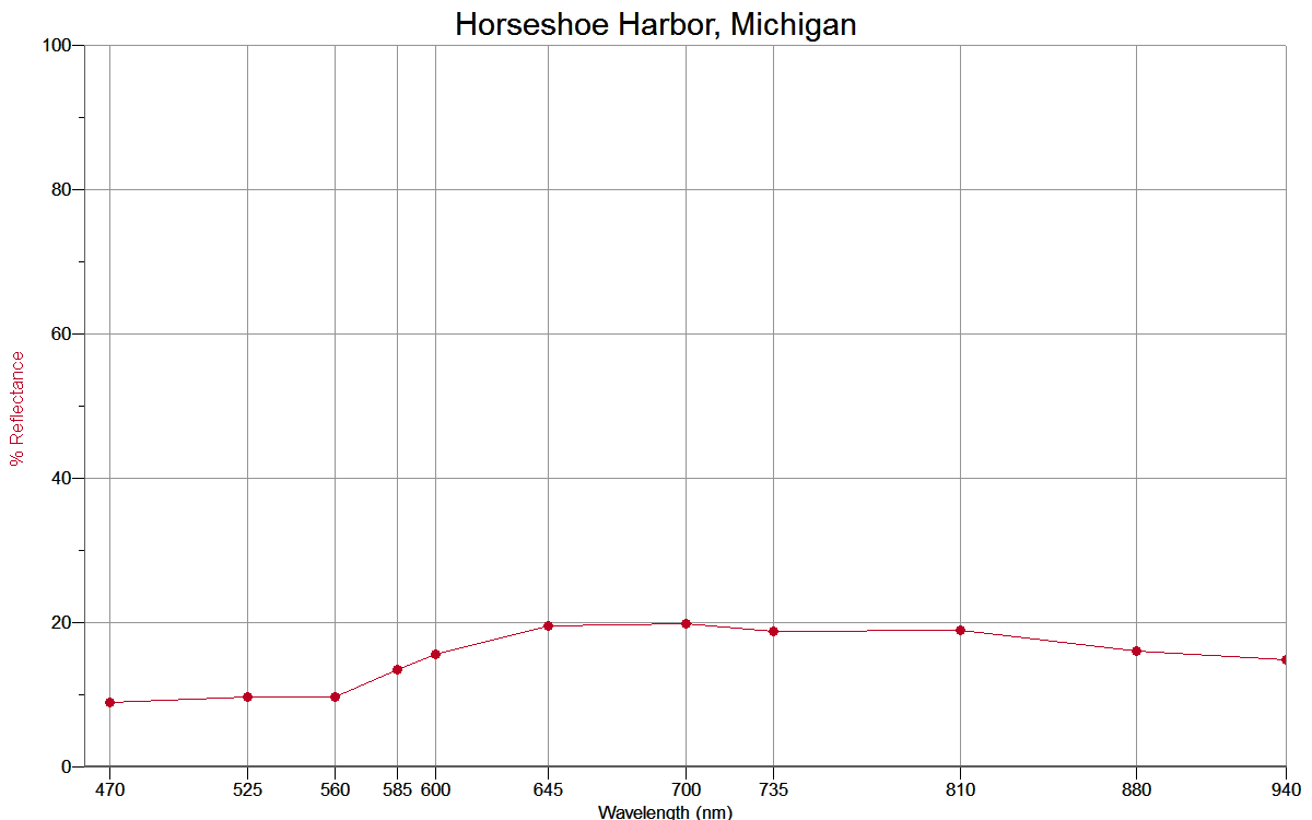
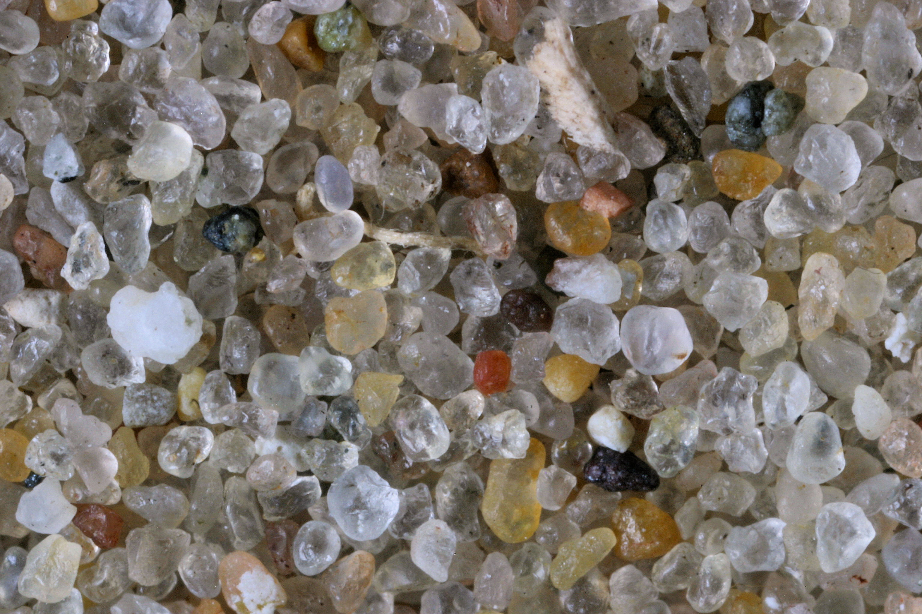
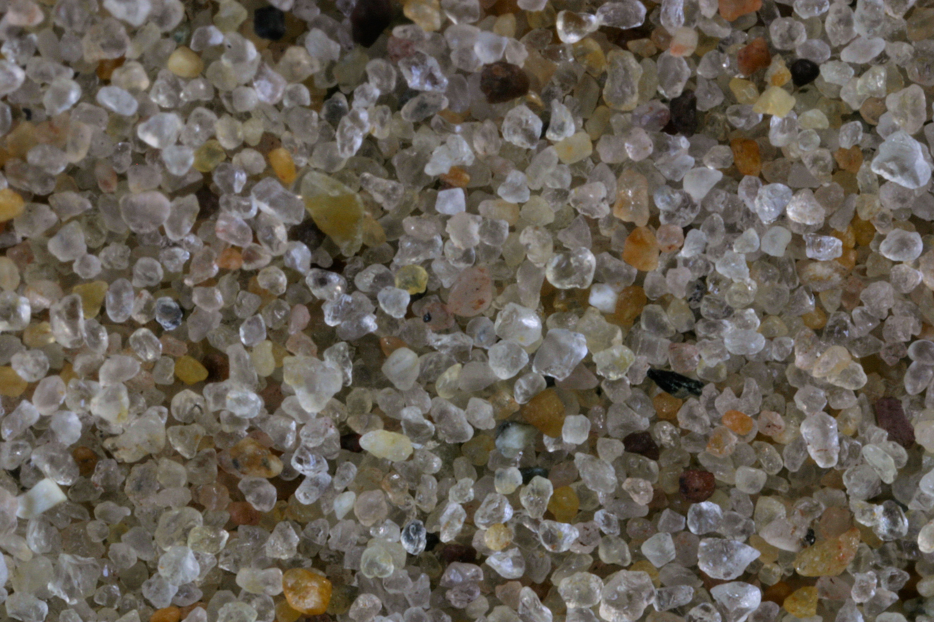
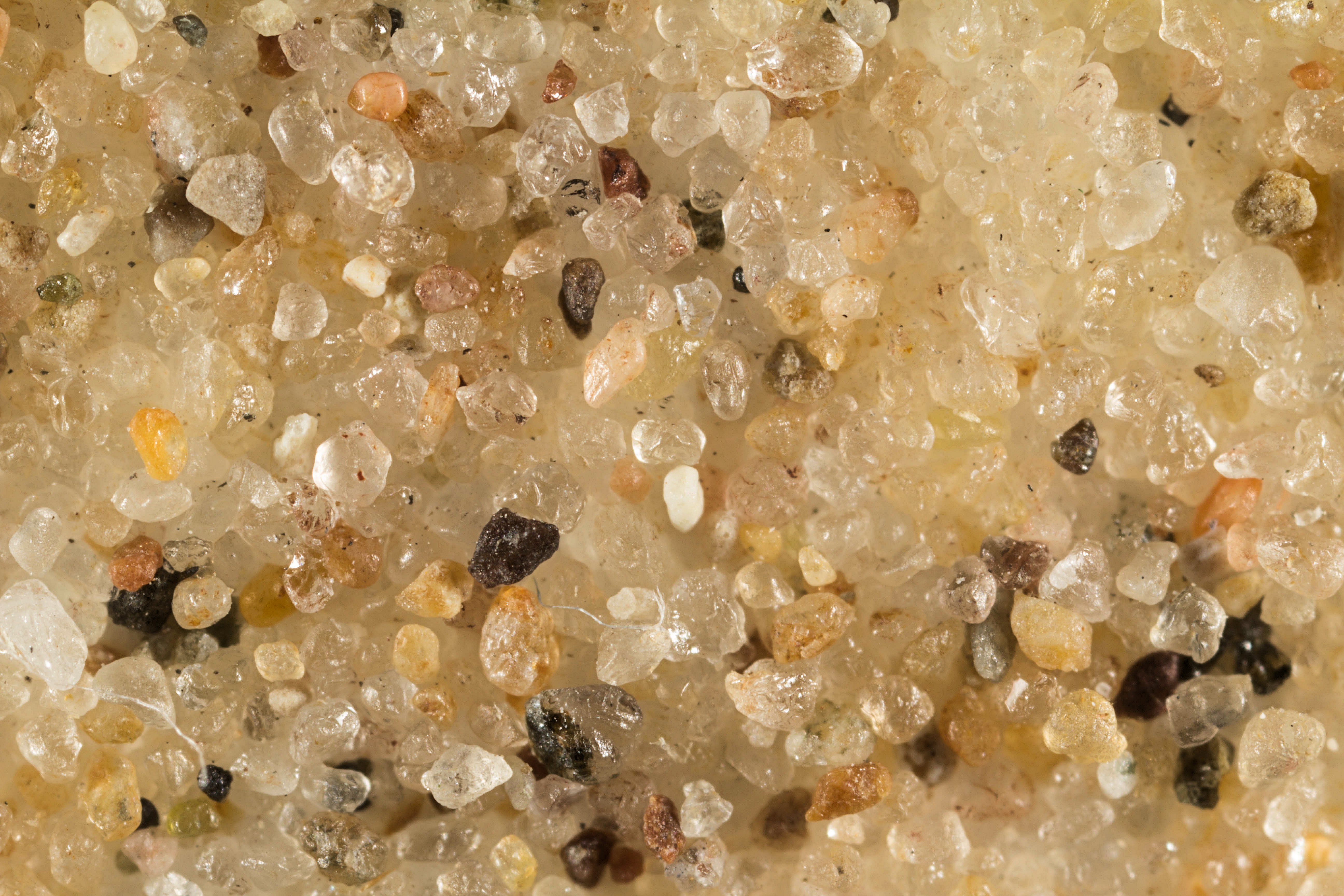
HORSESHOE
HARBOR 47.47N, 87.82W
|
 |
 |
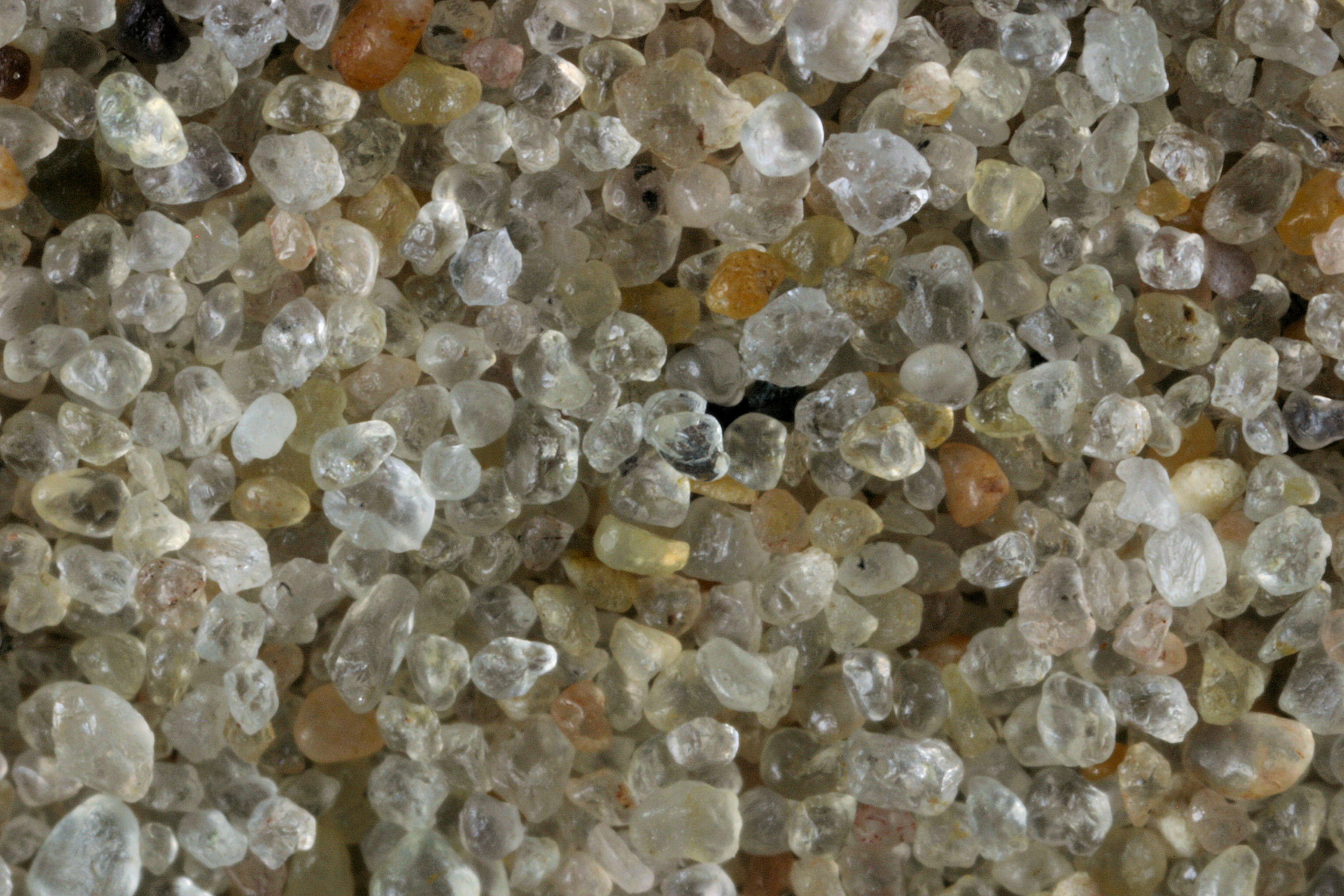
|
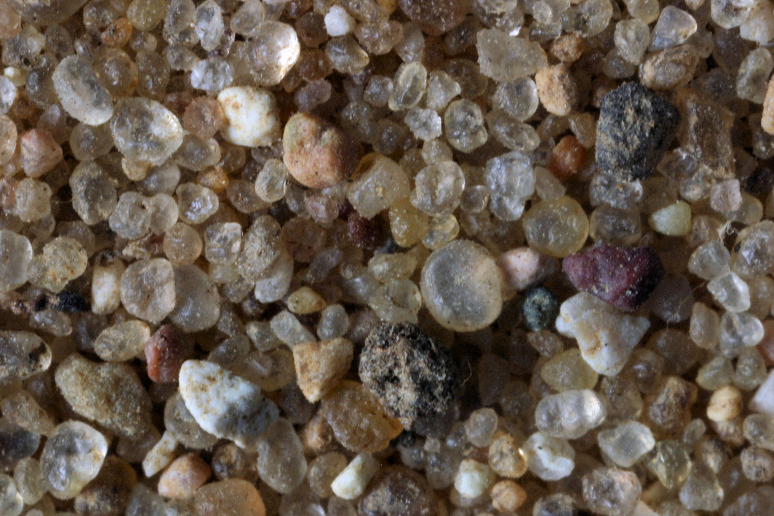
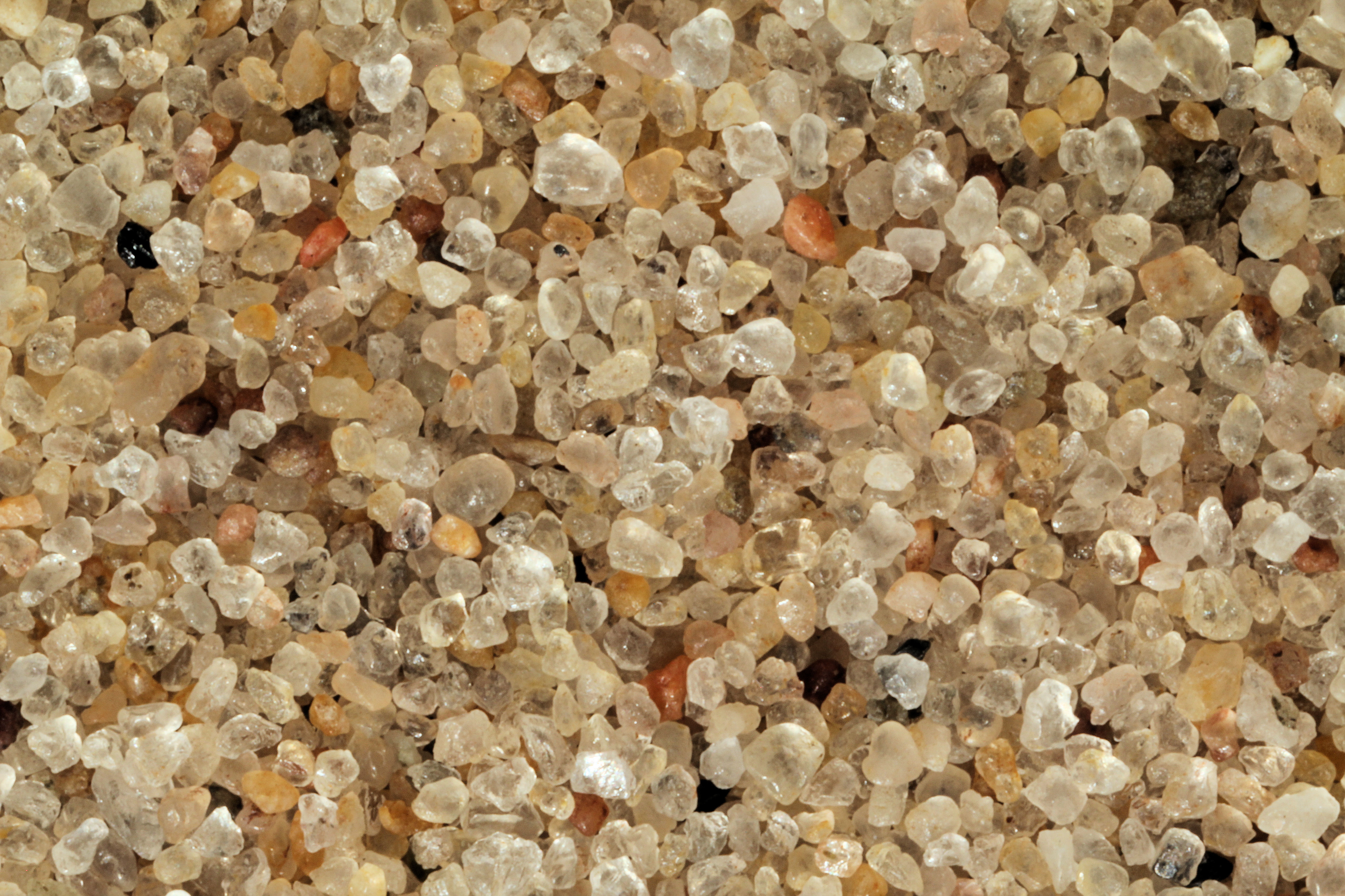
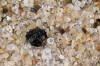
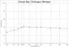
Duncan. Bay Cheboygan 45.65N, 84.43W |
 |
 |
|
Fisherman's
Island 45.28N, 85.34W |
 |
|
|
Petoskey
State Park 45.22N, 85.02W |
 |
|
|
Old Mission Lighthouse 45th Parallel 45.00N, 85.48W |
 |
|
|
Old Mission Lighthouse (Second
View)45.00N, 85.48W |
 |
|
|
Lake Cadillac 44.14N, 85.25W |
 |
|
|
Tamarac Bay (U.P.) 43.96N, 86.44W |
 |
|
|
Port
Ludington 43.96N, 86.44W |
 |
|
|
Port
Ludington Dune Area 43.96N, 86.44W |
 |
|
|
White Cloud 43.55N, 85.77W |
 |
|
|
Muskegon River, Newaygo 43.46N, 85.96W |
 |
|
|
Whispering
Dunes Beach, E. Norton 43.19N, 86.22W |
 |
|
|
HOLLAND (LAKE
MICHIGAN) 42.78N, 86.10W
|
 |
 |
|
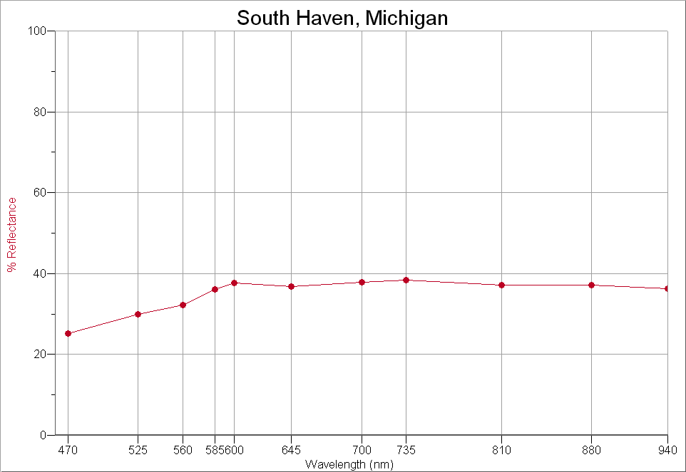
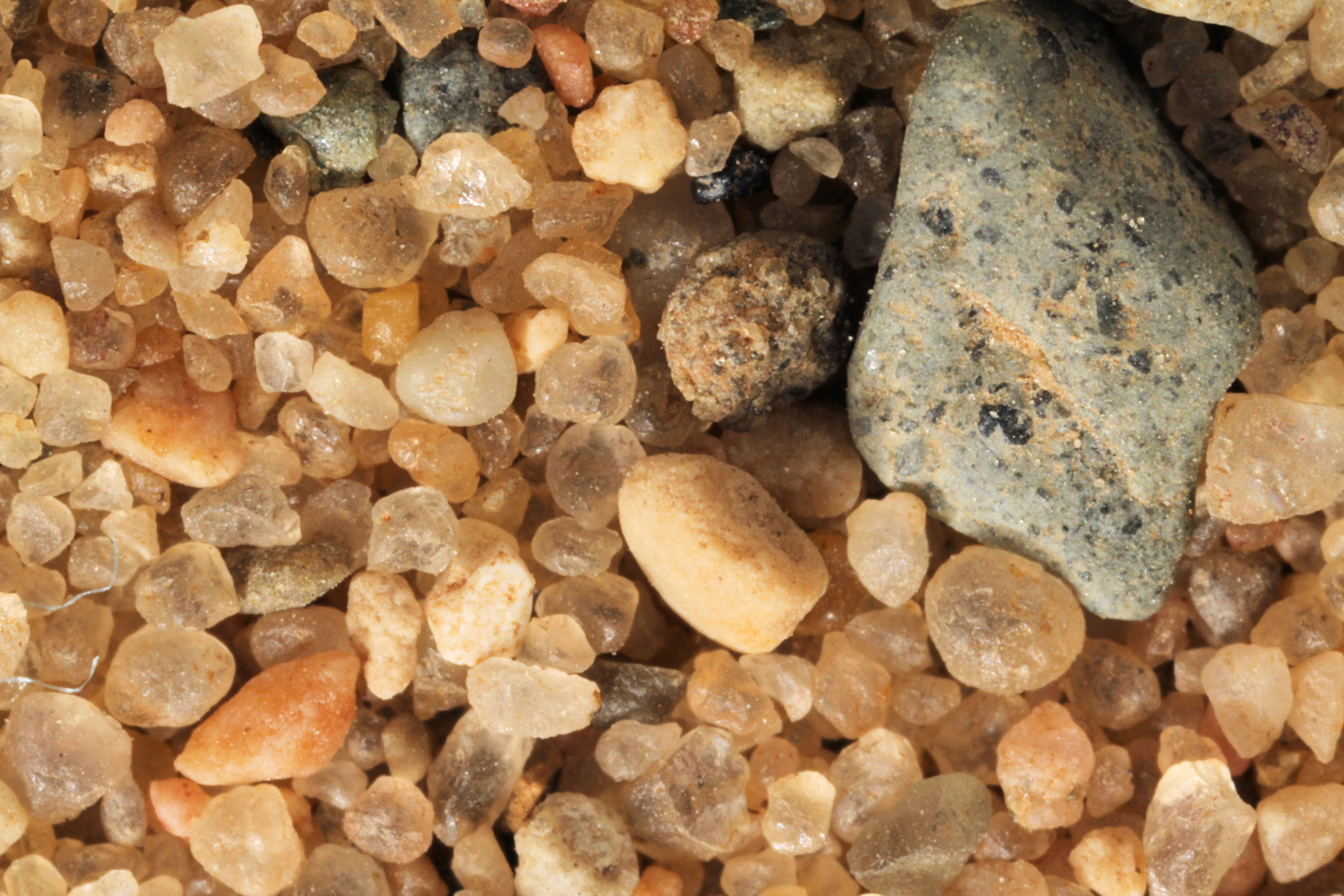
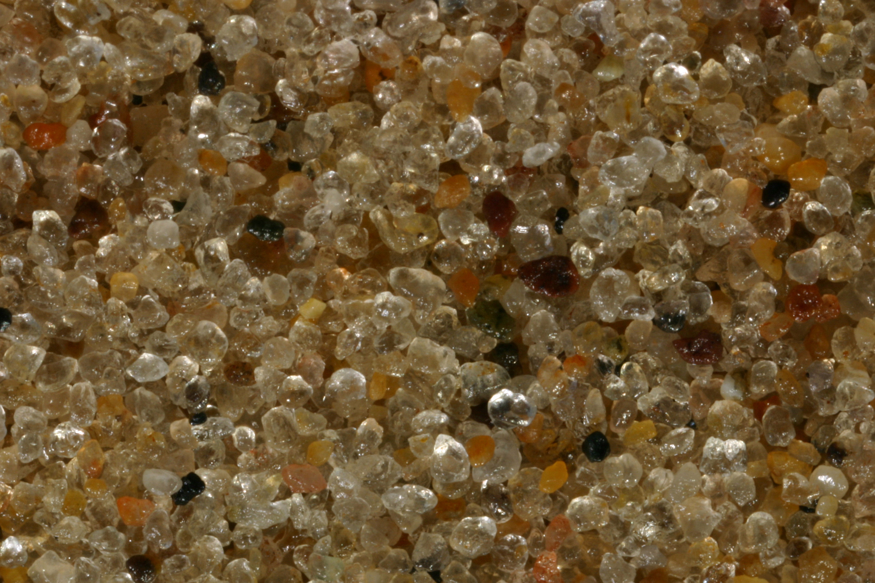
SOUTH HAVEN 42.40N, 86.27W |
 |
 |
|
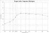
EAGLE LAKE,
AUGUSTA 42.33N, 85.35W |
 |
 |
|
Tiscornia
Beach, St Joseph 42.06N, 86.29W |
 |
|