C. and F. Lindgren Photographs
|
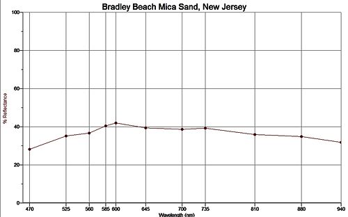
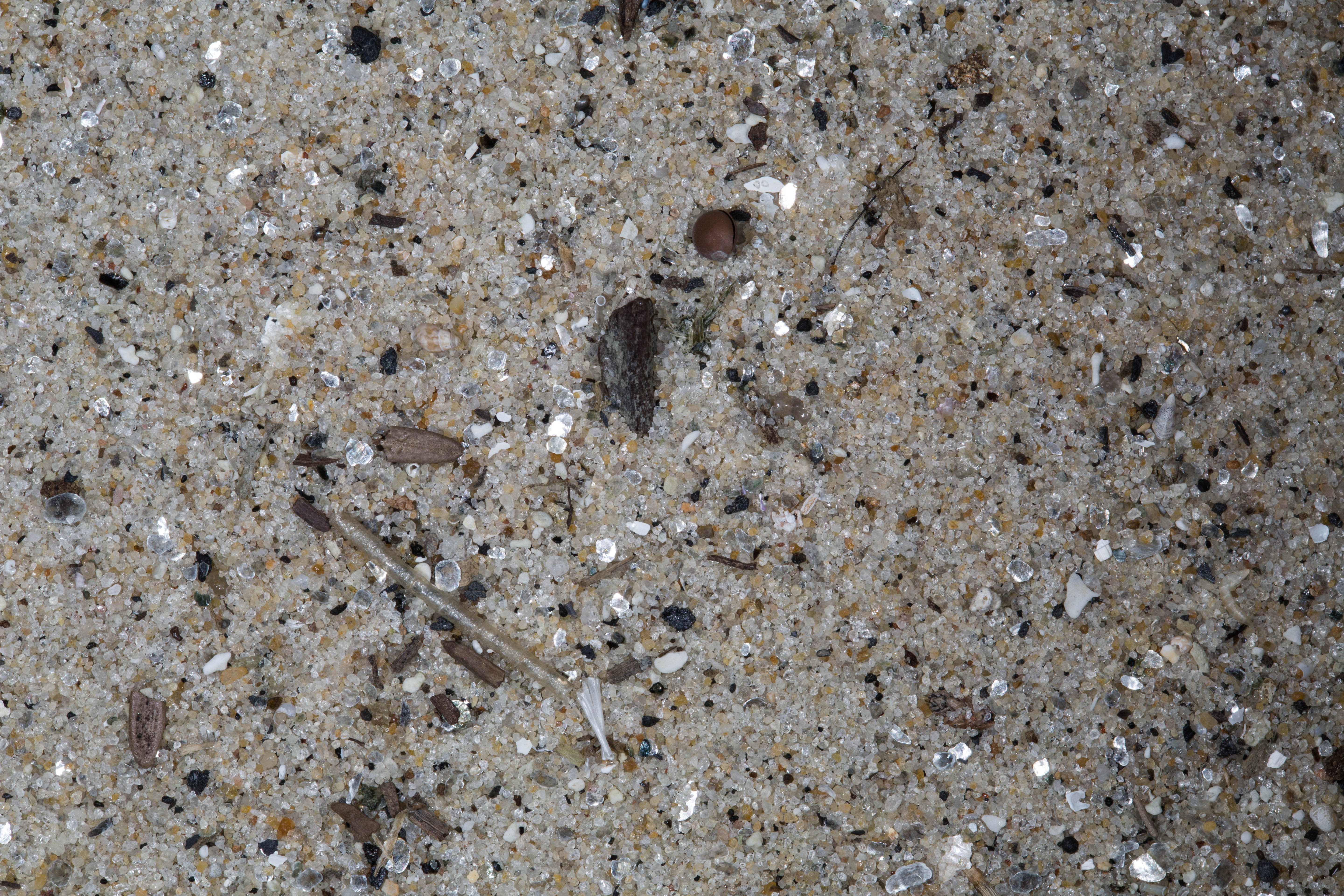
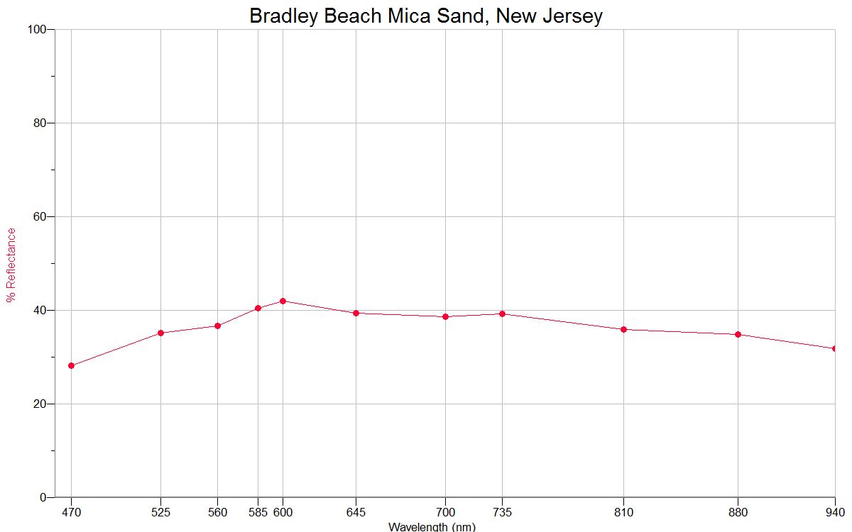
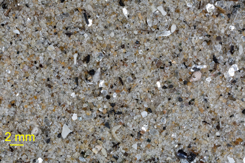
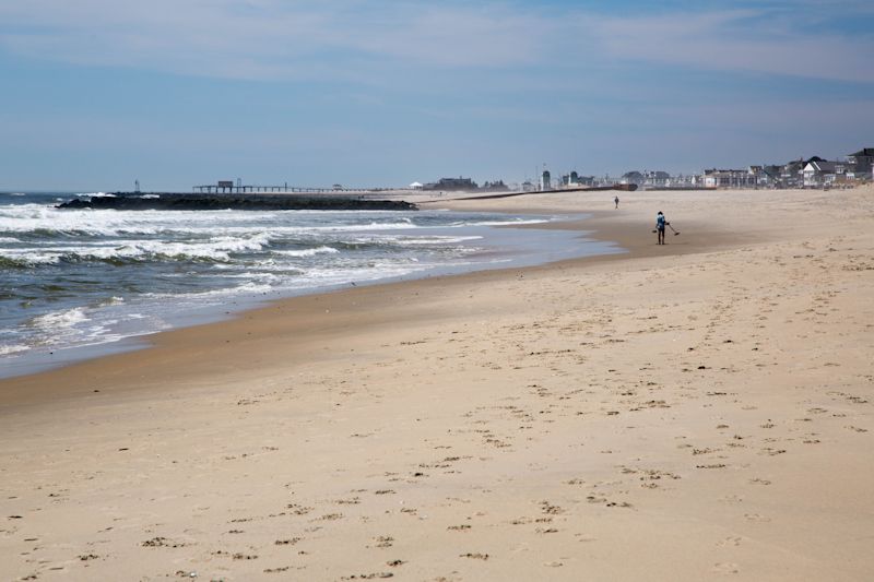
Stacked against the wall at the head of the beach amongst litter and debris was a very fine sand. When I dug the collecting tube into the sand it came up loaded with mica crystals!
|
|
|
|
|
|
|
|
|
|
|
|
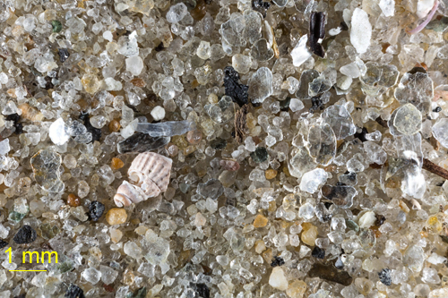
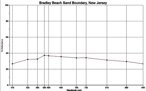
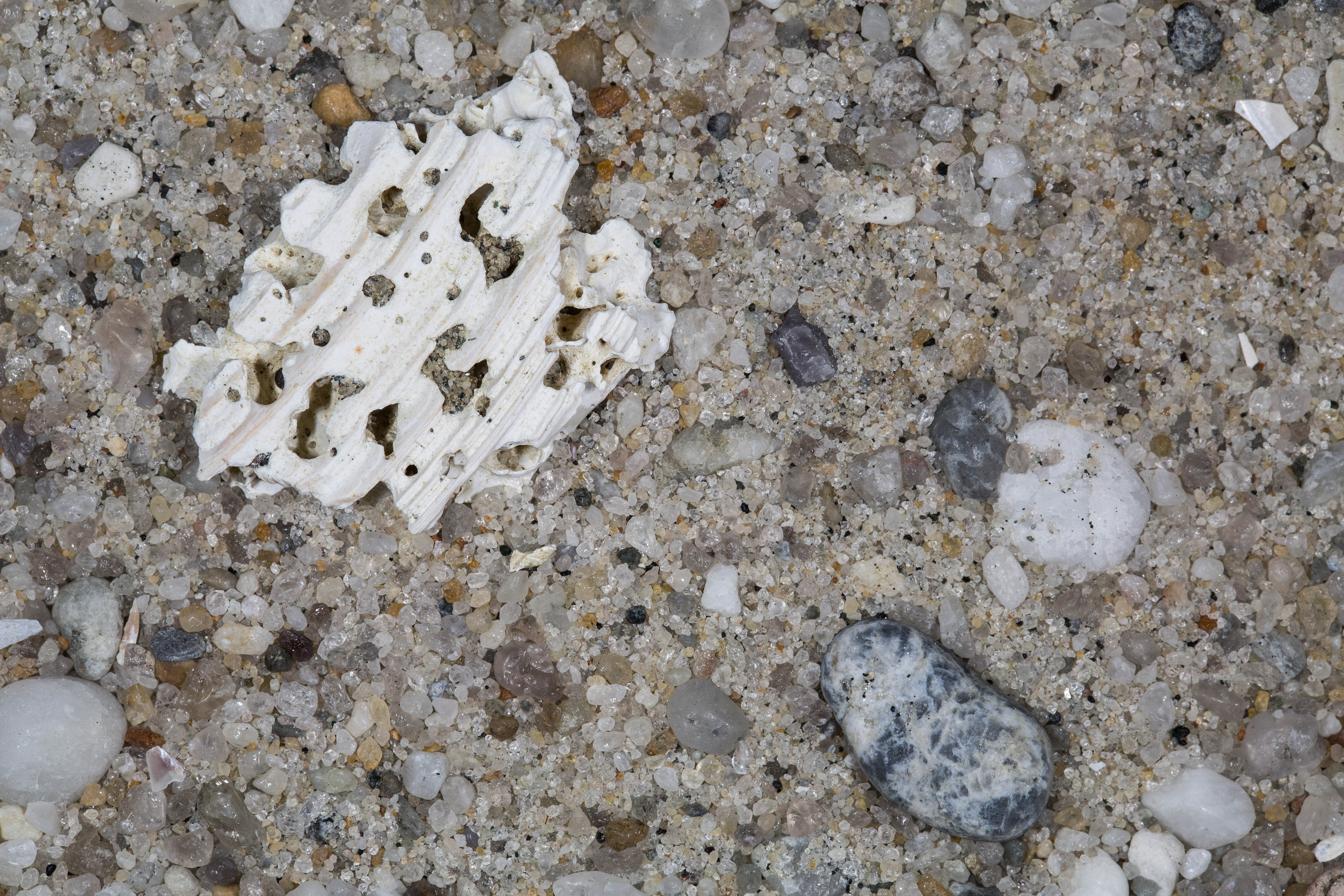
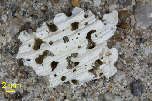
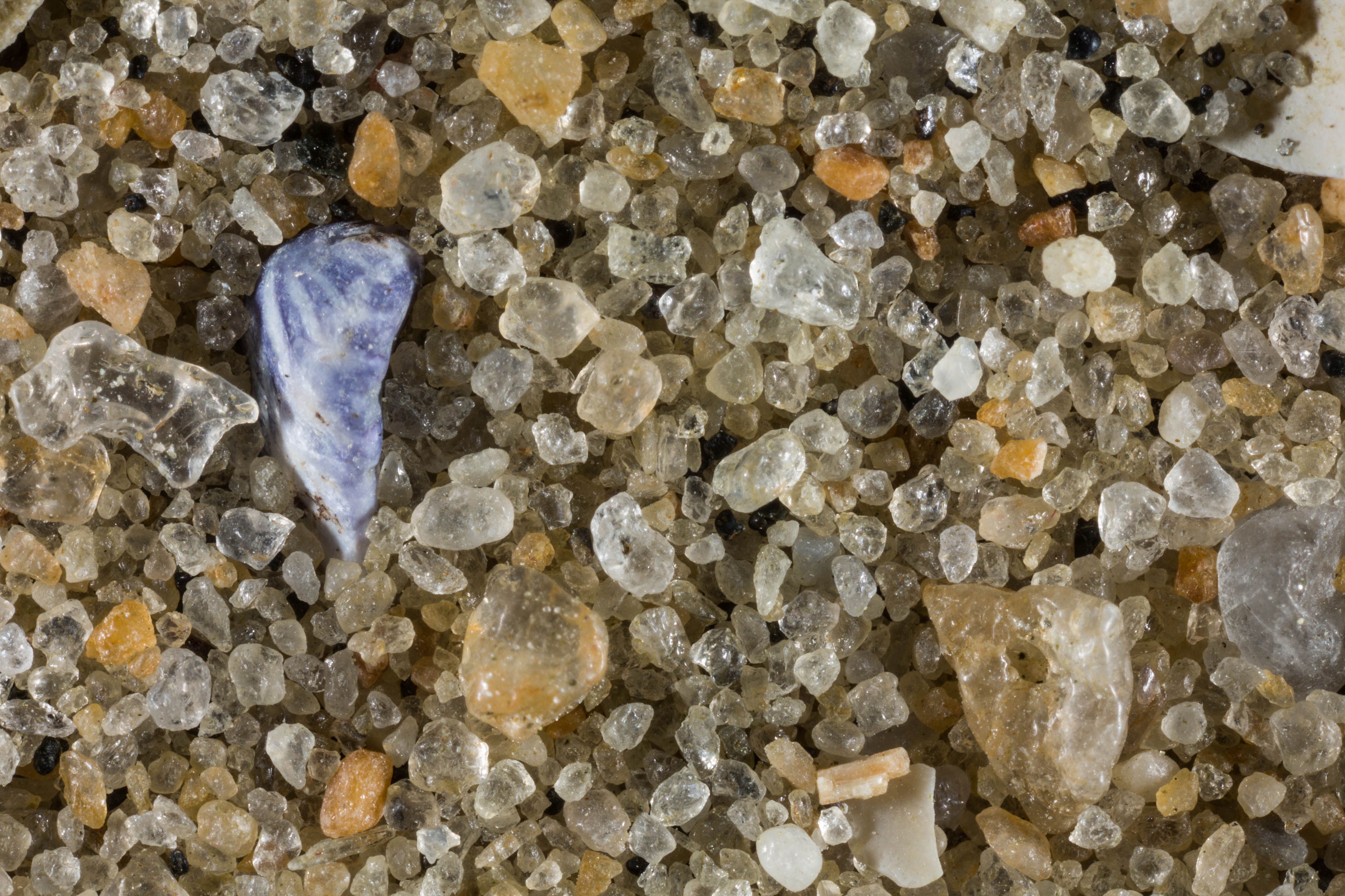
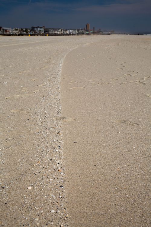
This was something I hadn't seen before. There was a definite boundary where the fine ended, and the coarse began. This sample came from that line.
|
|
|
|
|
|
|
|
|
|
|
|
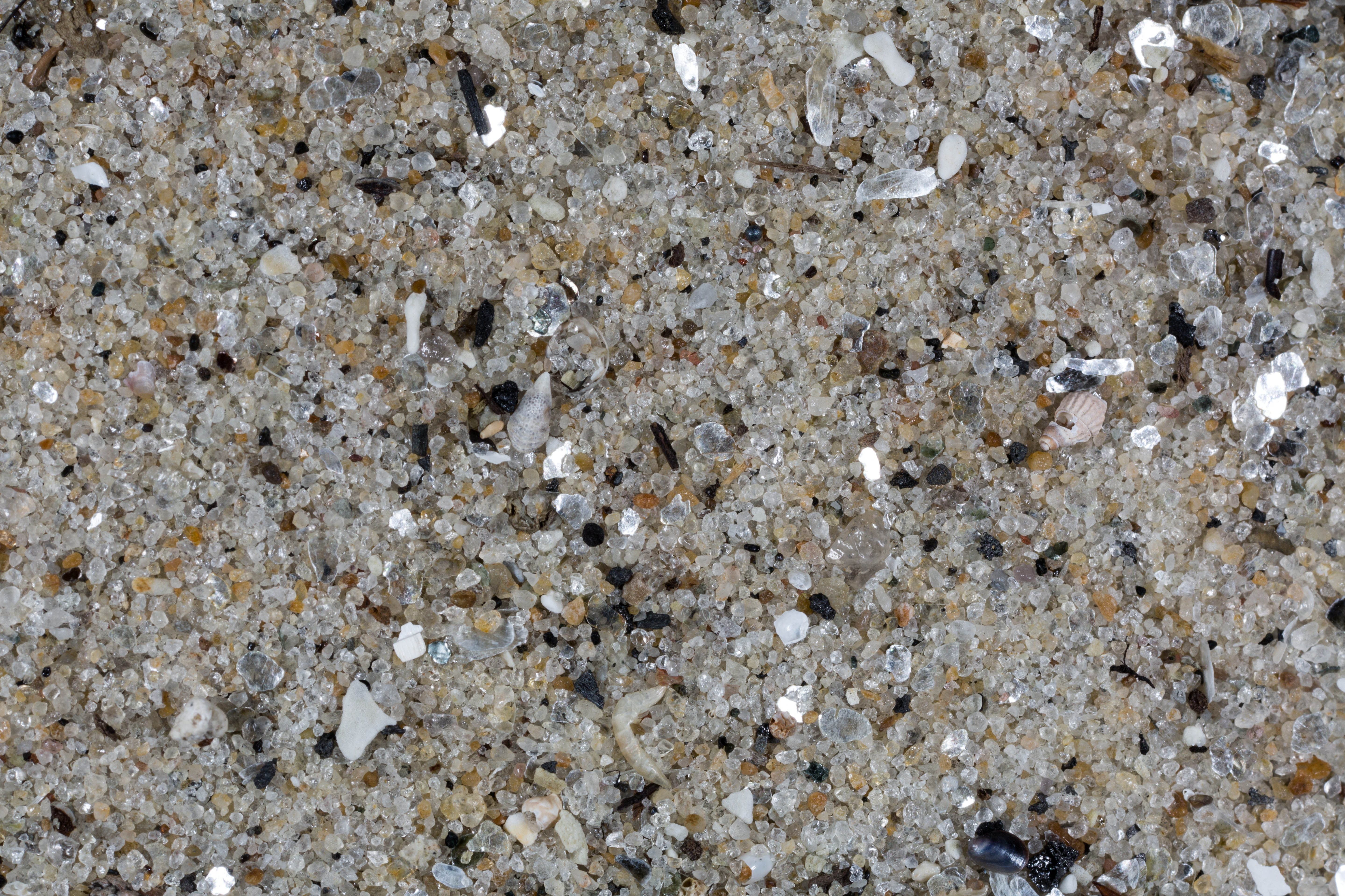
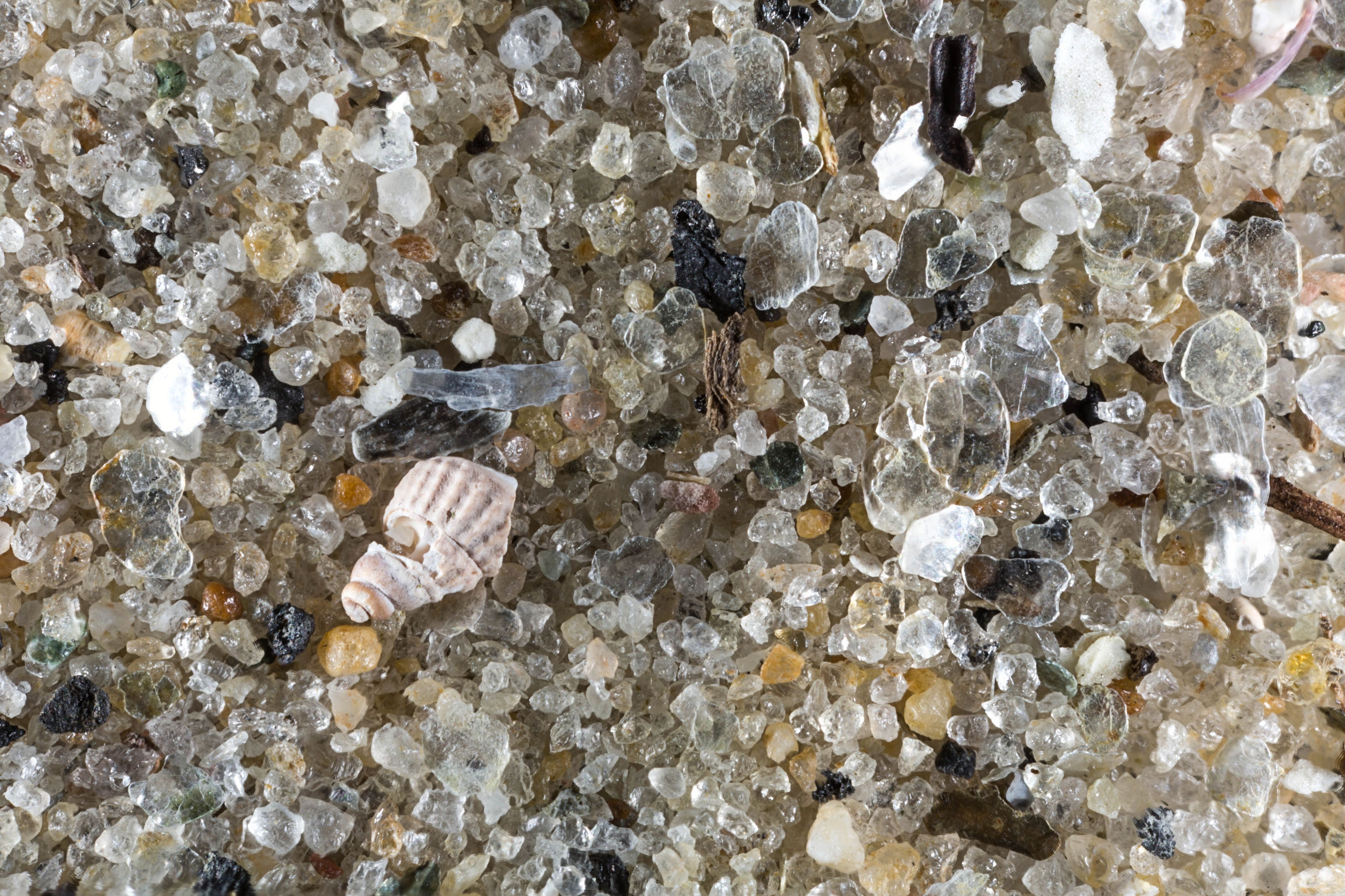
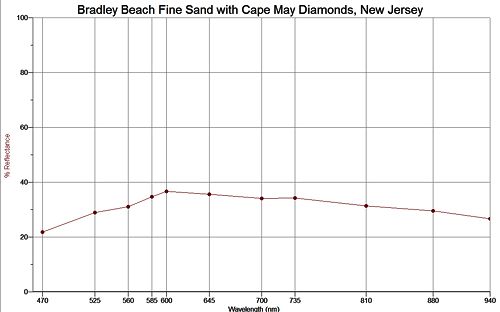
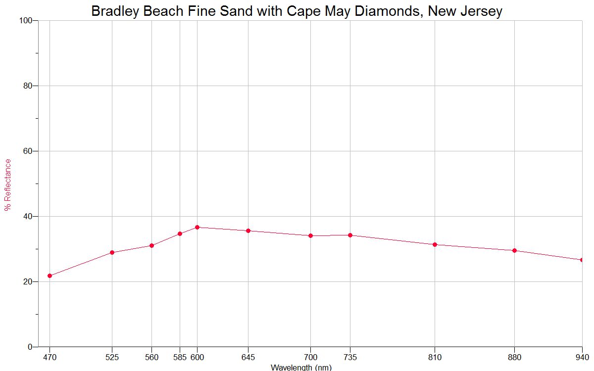
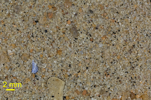
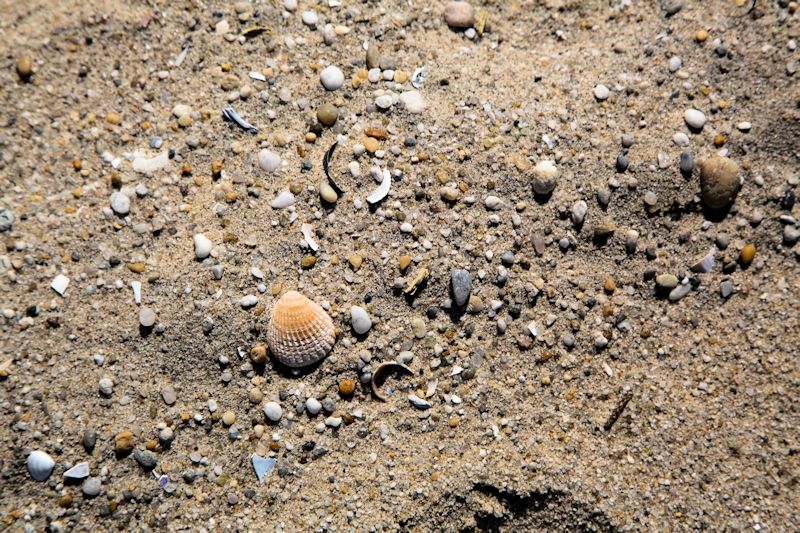
FINE GRAINED SAND WITH CAPE MAY DIAMONDS
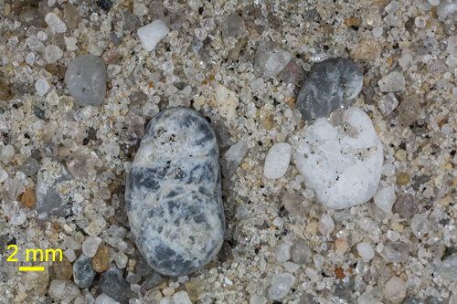
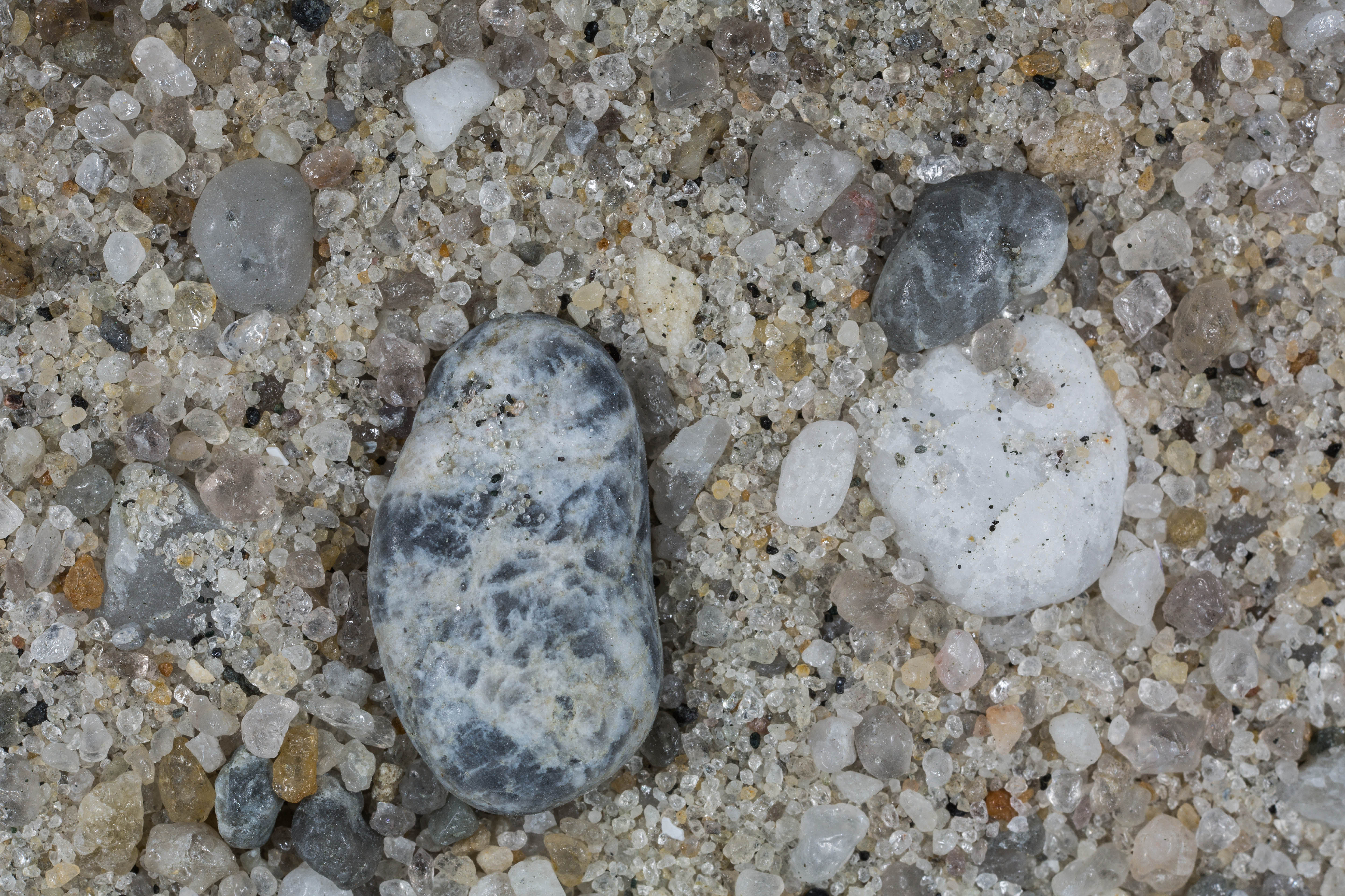
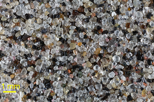
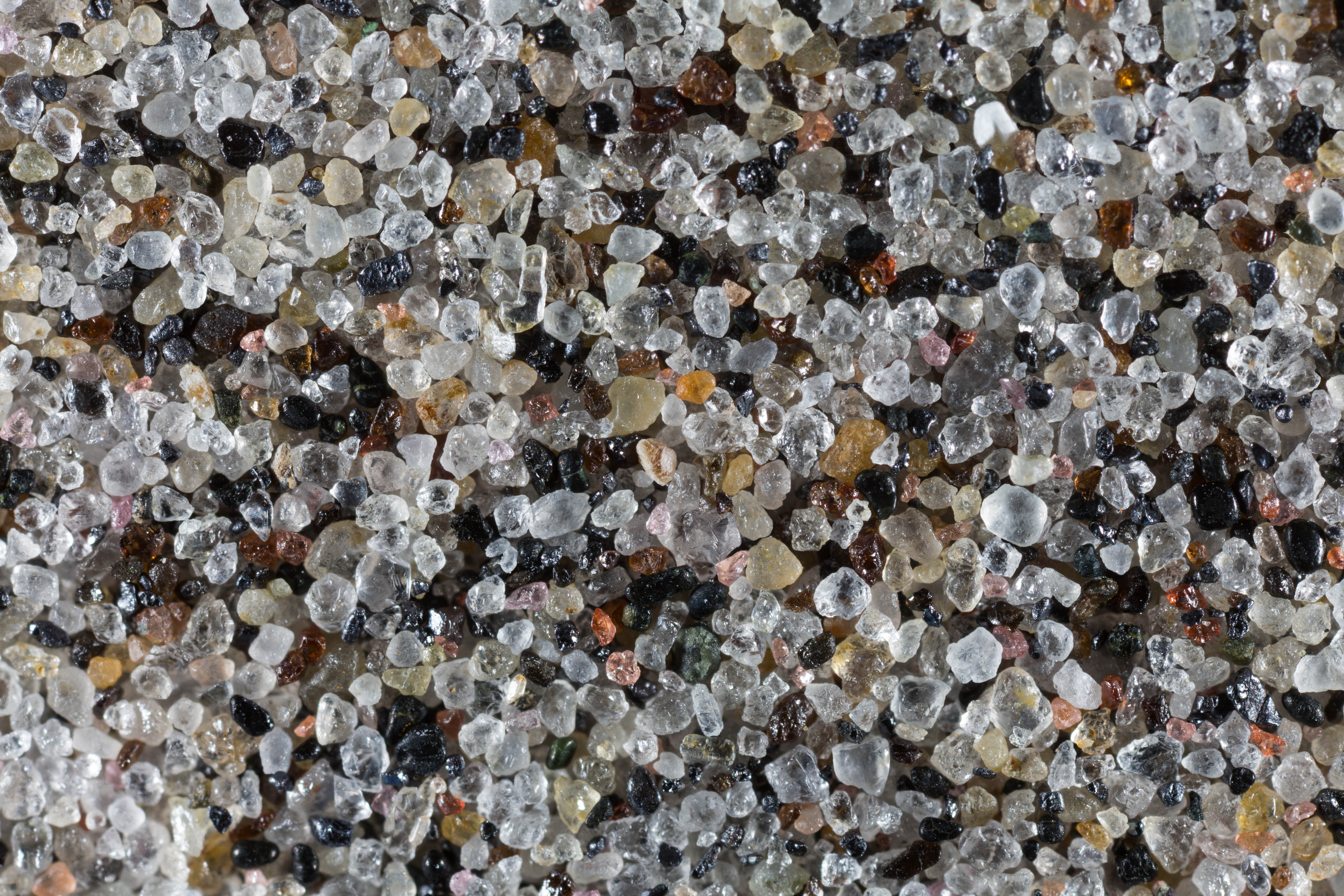
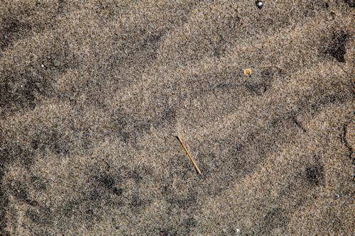
The sand on either side of the boundary line was fine grained. Mixed in with the fine sand were "Cape May Diamonds!"
|
|
|
|
|
|
|
|
|
|
|
|
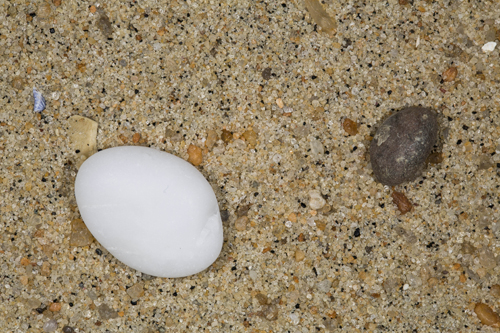
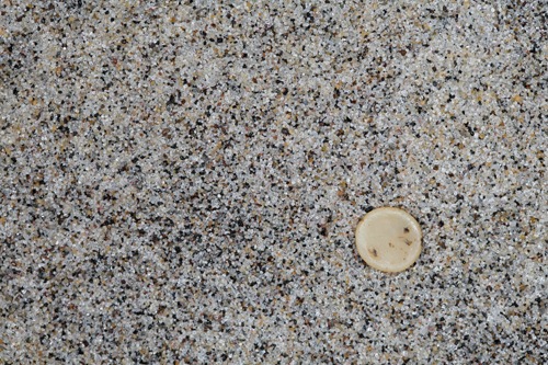
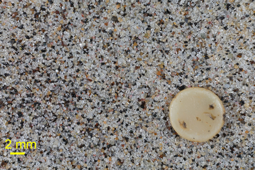
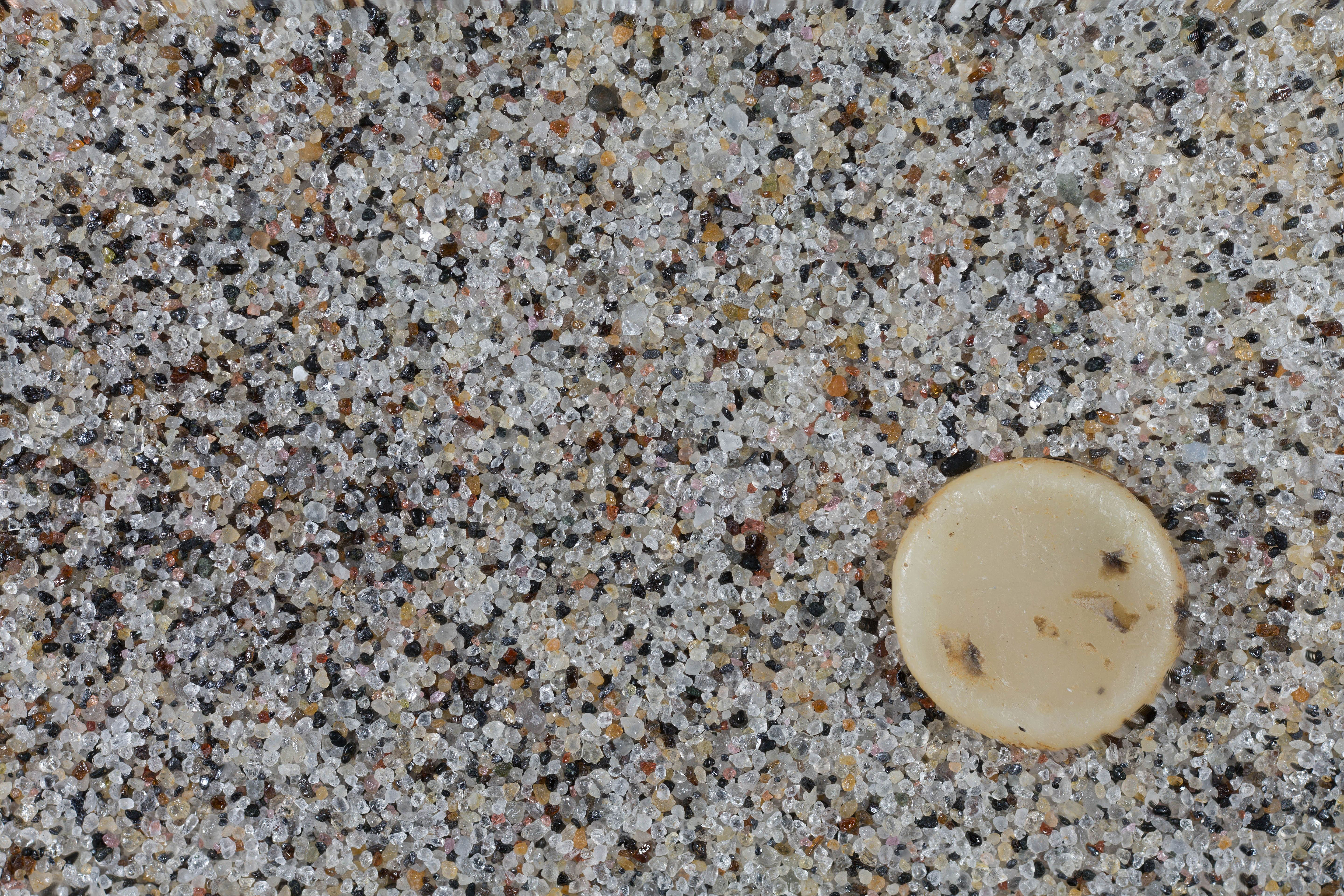
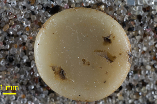
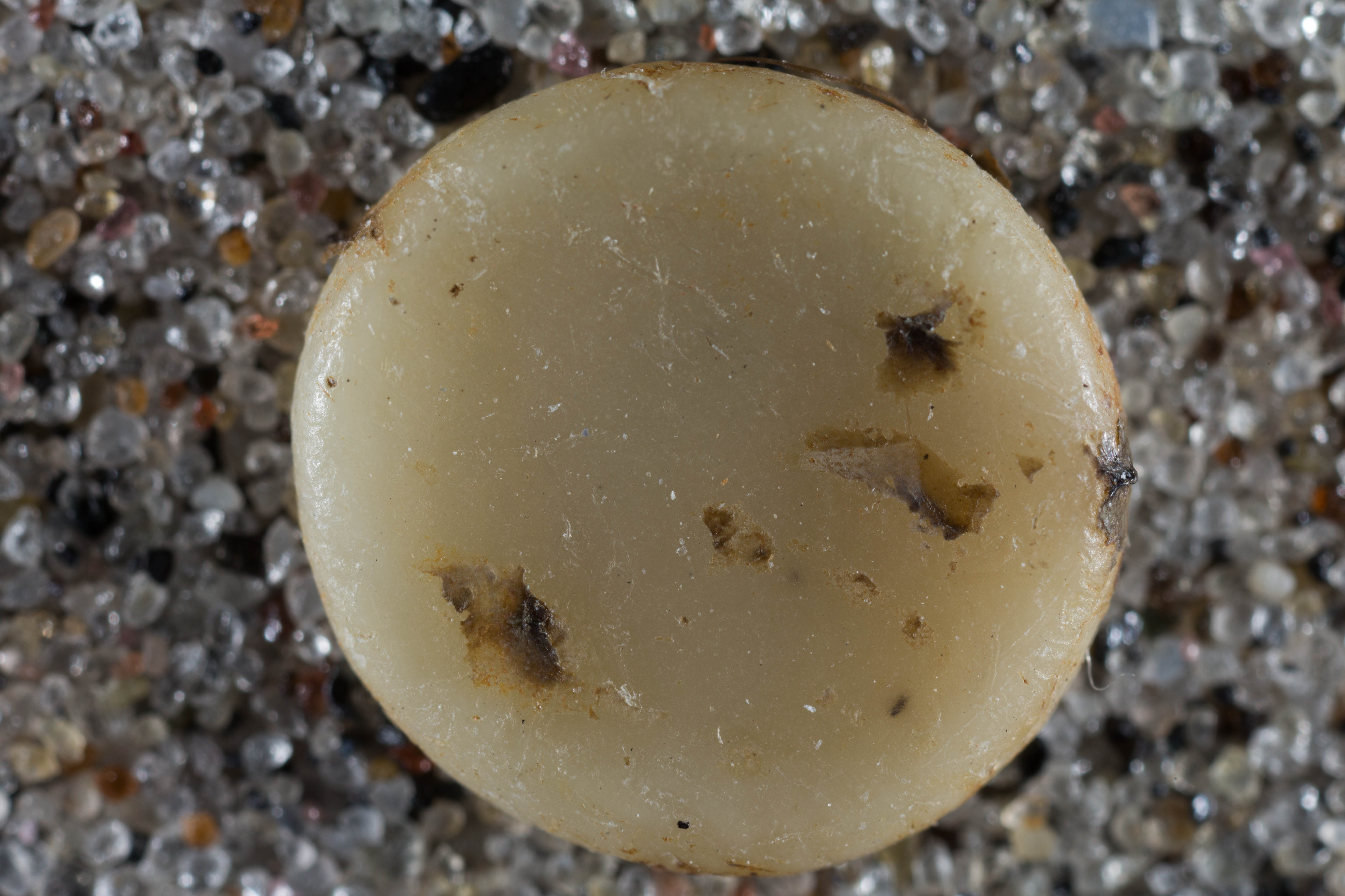
Finally at the water's edge the sand turns to almost pure black. I have no idea what the little disk is. It could be natural, it could be something dropped by a person. It is a perfect circle. It has the consistency of wax. Material is embedded in it.
|
|
|
|
|
|
|
|
|
|
|
|
|
|
|
|
|
Return to New Jersey Sand
Return to USA Map
Return to Home